Map of Balham station, London
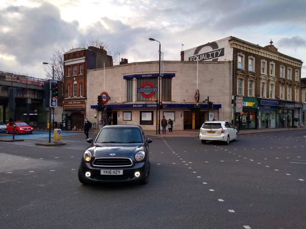
Balham station
| Postcode | SW12 9SG |
|---|
Transport
| Travel zone | 3 |
|---|---|
| Tube/Rail lines | |
| Next stations | |
| Nearby stations | |
| Bus stops |
Balham Station (S)
Balham Station (N)
Hildreth Street Market (N)
Balham Station (E)
Du Cane Court (S)
Du Cane Court (N)
|
| Station code (TLC) | BAL |
| Station code (NLC) | 5399 |
| Owner | Govia Thameslink Railway (Southern) |
| National Rail Enquiries | |
Live Departures
Live Arrivals
Usage
Entries and exits
Interchanges
| Year | Entries and exits | Annual change % | Interchanges | Annual change % |
|---|---|---|---|---|
| 2023 | 4,175,938 | 13.2 % | 183,785 | -19.8 % |
| 2022 | 3,688,758 | 80.5 % | 229,266 | 77.7 % |
| 2021 | 2,043,894 | -73.9 % | 128,999 | -70.8 % |
| 2020 | 7,823,990 | -3.9 % | 442,010 | -11.7 % |
| 2019 | 8,140,418 | -3.8 % | 500,419 | 27.3 % |
| 2018 | 8,463,278 | -3.3 % | 393,100 | -2.0 % |
| 2017 | 8,750,756 | -13.5 % | 401,169 | -11.1 % |
| 2016 | 10,114,526 | 32.3 % | 451,220 | 21.2 % |
| 2015 | 7,643,798 | 10.5 % | 372,421 | 5.2 % |
| 2014 | 6,916,220 | 1.9 % | 353,962 | -1.7 % |
| 2013 | 6,784,734 | 5.0 % | 360,190 | -6.1 % |
| 2012 | 6,464,028 | 8.9 % | 383,659 | 4.4 % |
| 2011 | 5,935,140 | 17.5 % | 367,540 | 51.0 % |
| 2010 | 5,052,242 | -0.6 % | 243,431 | -9.9 % |
| 2009 | 5,084,538 | -8.3 % | 270,275 | 5.3 % |
| 2008 | 5,543,764 | 1.6 % | 256,705 | 64.3 % |
| 2007 | 5,455,384 | 68.6 % | 156,283 | 33.0 % |
| 2006 | 3,236,366 | 2.4 % | 117,485 | 22.7 % |
| 2005 | 3,161,416 | 95,752 |
Note: Data is for financial years, so 2020 is April 2019 to March 2020
Geography
| Latitude | 51.443223 | |
|---|---|---|
| Longitude | -0.152424 | |
| Easting | 528482 | |
| Northing | 173195 | |
| Grid reference | TQ284731 | |
| UTM reference | 30U 697885 5702961 | |
| what3words | ||
| Plus code | ||
| Distance away |
Postcodes
This map shows the postcodes where this station is the nearest to the postcode (as the crow flies)