Map of Barnes Bridge station, London
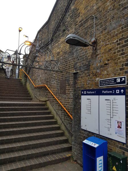
Barnes Bridge station
| Postcode | SW13 0NR |
|---|
Transport
| Travel zone | 3 |
|---|---|
| Tube/Rail lines | |
| Next stations | |
| Nearby stations | |
| Bus stops |
Barnes Bridge (NE)
Lyric Road (S)
Barnes High Street (W)
White Hart Lane (SW14) (W)
White Hart Lane (SW14) (E)
Nassau Road (N)
|
| Station code (TLC) | BNI |
| Station code (NLC) | 5580 |
| Owner | South Western Railway |
| National Rail Enquiries | |
Live Departures
Live Arrivals
Usage
Entries and exits
Interchanges
| Year | Entries and exits | Annual change % | Interchanges | Annual change % |
|---|---|---|---|---|
| 2023 | 684,578 | 13.4 % | ||
| 2022 | 603,620 | 111.3 % | ||
| 2021 | 285,718 | -72.0 % | ||
| 2020 | 1,019,214 | 10.5 % | ||
| 2019 | 922,602 | 6.9 % | ||
| 2018 | 862,758 | -3.6 % | ||
| 2017 | 895,376 | -2.3 % | ||
| 2016 | 916,476 | 20.0 % | ||
| 2015 | 763,888 | 7.5 % | ||
| 2014 | 710,756 | 4.3 % | ||
| 2013 | 681,764 | 8.9 % | ||
| 2012 | 626,020 | 7.8 % | ||
| 2011 | 580,988 | 12.4 % | ||
| 2010 | 516,968 | 6.0 % | ||
| 2009 | 487,906 | -3.1 % | ||
| 2008 | 503,736 | 43.1 % | ||
| 2007 | 352,079 | 144.9 % | ||
| 2006 | 143,772 | 21.3 % | ||
| 2005 | 118,487 |
Note: Data is for financial years, so 2020 is April 2019 to March 2020
Geography
| Latitude | 51.472007 | |
|---|---|---|
| Longitude | -0.25263 | |
| Easting | 521478 | |
| Northing | 176255 | |
| Grid reference | TQ214762 | |
| UTM reference | 30U 690802 5705895 | |
| what3words | ||
| Plus code | ||
| Distance away |
Postcodes
This map shows the postcodes where this station is the nearest to the postcode (as the crow flies)