Map of Brentford station, London
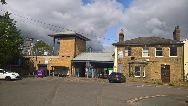
Brentford station
| Postcode | TW8 9LF |
|---|
Transport
| Travel zone | 4 |
|---|---|
| Tube/Rail lines | |
| Next stations | |
| Nearby stations | |
| Bus stops |
Boston Manor Road Brentford (N)
Boston Manor Road Brentford (S)
Windmill Road Brentford (N)
Orchard Road (TW8) (S)
Brentford (NW)
Windmill Road South Ealing (E)
|
| Station code (TLC) | BFD |
| Station code (NLC) | 5552 |
| Owner | South Western Railway |
| National Rail Enquiries | |
Live Departures
Live Arrivals
Usage
Entries and exits
Interchanges
| Year | Entries and exits | Annual change % | Interchanges | Annual change % |
|---|---|---|---|---|
| 2023 | 897,678 | 11.4 % | ||
| 2022 | 806,012 | 94.9 % | ||
| 2021 | 413,654 | -76.0 % | ||
| 2020 | 1,720,186 | -2.4 % | ||
| 2019 | 1,762,670 | -0.3 % | ||
| 2018 | 1,767,592 | -4.8 % | ||
| 2017 | 1,857,608 | -3.6 % | ||
| 2016 | 1,926,198 | 13.3 % | ||
| 2015 | 1,700,002 | 11.3 % | ||
| 2014 | 1,527,764 | 6.1 % | ||
| 2013 | 1,440,306 | 3.9 % | ||
| 2012 | 1,386,210 | 9.2 % | ||
| 2011 | 1,269,148 | 13.7 % | ||
| 2010 | 1,116,026 | 2.0 % | ||
| 2009 | 1,093,834 | -5.8 % | ||
| 2008 | 1,161,664 | 27.0 % | ||
| 2007 | 914,790 | 77.8 % | ||
| 2006 | 514,596 | -0.6 % | ||
| 2005 | 517,740 |
Note: Data is for financial years, so 2020 is April 2019 to March 2020
Geography
| Latitude | 51.487546 | |
|---|---|---|
| Longitude | -0.309651 | |
| Easting | 517462 | |
| Northing | 177864 | |
| Grid reference | TQ174778 | |
| UTM reference | 30U 686780 5707476 | |
| what3words | ||
| Plus code | ||
| Distance away |
Postcodes
This map shows the postcodes where this station is the nearest to the postcode (as the crow flies)