Map of Charing Cross station, London
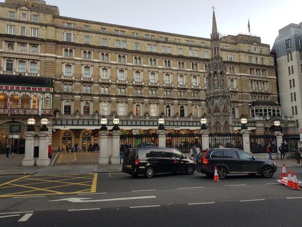
Charing Cross station
| Postcode | WC2N 5HS |
|---|
Transport
| Travel zone | 1 |
|---|---|
| Tube/Rail lines | |
| Next stations | |
| Nearby stations | |
| Bus stops |
Trafalgar SquareCharing Cross (W)
Trafalgar SquareCharing Cross (E)
Charing Cross (E)
Trafalgar Square (S)
Bedford Street (W)
Trafalgar Square (N)
|
| Station code (TLC) | CHX |
| Station code (NLC) | 5143 |
| Owner | Network Rail |
| National Rail Enquiries | |
Live Departures
Live Arrivals
Usage
Entries and exits
Interchanges
| Year | Entries and exits | Annual change % | Interchanges | Annual change % |
|---|---|---|---|---|
| 2023 | 16,191,196 | 2.9 % | 418,776 | 42.1 % |
| 2022 | 15,733,458 | 192.8 % | 294,687 | 220.3 % |
| 2021 | 5,373,056 | 65.8 % | 91,995 | -83.6 % |
| 2020 | 29,138,398 | -3.6 % | 559,452 | -3.3 % |
| 2019 | 30,235,856 | 6.7 % | 578,261 | -30.6 % |
| 2018 | 28,344,898 | -4.1 % | 833,076 | -72.3 % |
| 2017 | 29,559,646 | 1.9 % | 3,002,833 | 263.0 % |
| 2016 | 28,998,152 | -32.5 % | 827,295 | -22.6 % |
| 2015 | 42,978,890 | 7.0 % | 1,068,172 | -46.4 % |
| 2014 | 40,170,074 | 4.0 % | 1,992,813 | 6.1 % |
| 2013 | 38,607,238 | 1.6 % | 1,878,742 | -5.6 % |
| 2012 | 38,004,790 | 2.1 % | 1,990,300 | 90.5 % |
| 2011 | 37,222,298 | 2.1 % | 1,044,729 | 2.8 % |
| 2010 | 36,459,945 | -0.5 % | 1,016,250 | -39.4 % |
| 2009 | 36,659,932 | 1.0 % | 1,677,852 | -5.1 % |
| 2008 | 36,294,182 | 4.4 % | 1,767,693 | -0.1 % |
| 2007 | 34,779,287 | 21.8 % | 1,769,976 | 7.5 % |
| 2006 | 28,562,268 | -0.9 % | 1,646,822 | -2.3 % |
| 2005 | 28,822,074 | 1,684,836 |
Note: Data is for financial years, so 2020 is April 2019 to March 2020
Geography
| Latitude | 51.508026 | |
|---|---|---|
| Longitude | -0.124802 | |
| Easting | 530234 | |
| Northing | 180492 | |
| Grid reference | TQ302804 | |
| UTM reference | 30U 699521 5710241 | |
| what3words | ||
| Plus code | ||
| Distance away |
Postcodes
This map shows the postcodes where this station is the nearest to the postcode (as the crow flies)