Map of Covent Garden station, London
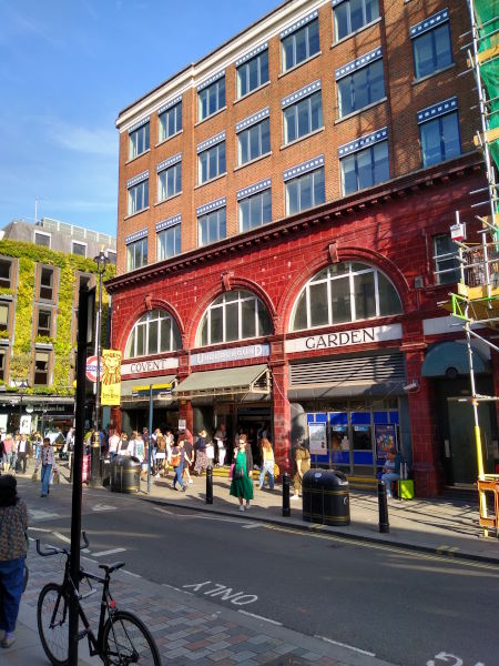
Covent Garden station
| Postcode | WC2E 9JT |
|---|
Transport
| Travel zone | 1 |
|---|---|
| Tube/Rail lines | |
| Next stations | |
| Nearby stations | |
| Bus stops |
Covent Garden Russell Street (W)
Southampton Street Covent Garden (E)
Drury Lane (W)
St Giles High Street (W)
Leicester Square (S)
Cambridge Circus (N)
|
Geography
| Latitude | 51.51276 | |
|---|---|---|
| Longitude | -0.124507 | |
| Easting | 530242 | |
| Northing | 180982 | |
| Grid reference | TQ302809 | |
| UTM reference | 30U 699521 5710768 | |
| what3words | ||
| Plus code | ||
| Distance away |
Postcodes
This map shows the postcodes where this station is the nearest to the postcode (as the crow flies)