Map of Embankment station, London
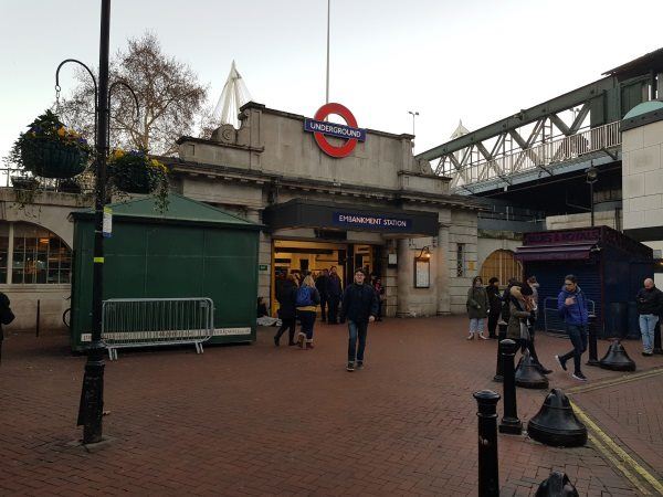
Embankment station
| Postcode | WC2N 6NS |
|---|
Transport
| Travel zone | 1 |
|---|---|
| Tube/Rail lines | |
| Next stations | |
| Nearby stations | |
| Bus stops |
Bedford Street (W)
Southampton Street Covent Garden (E)
Charing Cross (W)
Savoy Pier (NE)
Savoy Street (SW)
Trafalgar SquareCharing Cross (W)
|
Geography
| Latitude | 51.507312 | |
|---|---|---|
| Longitude | -0.122367 | |
| Easting | 530406 | |
| Northing | 180380 | |
| Grid reference | TQ304803 | |
| UTM reference | 30U 699693 5710168 | |
| what3words | ||
| Plus code | ||
| Distance away |
Postcodes
This map shows the postcodes where this station is the nearest to the postcode (as the crow flies)