Map of Farringdon station, London
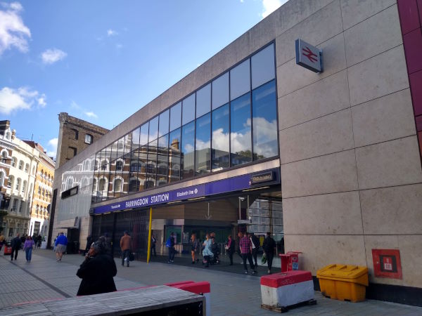
Farringdon station
| Postcode | EC1M 6BY |
|---|
Transport
| Travel zone | 1 |
|---|---|
| Tube/Rail lines | |
| Next stations | |
| Nearby stations | |
| Bus stops |
Farringdon (N)
Snow Hill (S)
Clerkenwell Road Farringdon Road (S)
Clerkenwell Green (W)
Snow Hill (N)
Charterhouse Street (E)
|
| Station code (TLC) | ZFD |
| Station code (NLC) | 577 |
| Owner | London Underground |
| National Rail Enquiries | |
Live Departures
Live Arrivals
Usage
Entries and exits
Interchanges
| Year | Entries and exits | Annual change % | Interchanges | Annual change % |
|---|---|---|---|---|
| 2023 | 31,459,904 | -267.4 % | 640,172 | 161.2 % |
| 2022 | 6,865,228 | 159.7 % | 245,046 | 107.4 % |
| 2021 | 2,643,390 | -84.0 % | 118,141 | -70.4 % |
| 2020 | 16,496,662 | 9.3 % | 399,200 | 4.3 % |
| 2019 | 15,087,488 | 19.6 % | 382,640 | 128.1 % |
| 2018 | 12,618,470 | 4.8 % | 167,728 | 14.9 % |
| 2017 | 12,045,560 | -1.1 % | 145,989 | -4.3 % |
| 2016 | 12,185,440 | 73.9 % | 152,491 | 34.7 % |
| 2015 | 7,007,470 | 8.6 % | 113,233 | -42.3 % |
| 2014 | 6,454,850 | 28.1 % | 196,230 | 7.9 % |
| 2013 | 5,040,844 | 2.0 % | 181,883 | 21.7 % |
| 2012 | 4,942,964 | 6.7 % | 149,402 | -27.6 % |
| 2011 | 4,632,081 | 210.4 % | 206,441 | 156.9 % |
| 2010 | 1,492,179 | 27.2 % | 80,371 | 1.3 % |
| 2009 | 1,173,136 | -31.2 % | 79,378 | -86.1 % |
| 2008 | 1,704,292 | 4.1 % | 571,318 | 166.3 % |
| 2007 | 1,636,705 | 214,544 | ||
| 2006 | ||||
| 2005 |
Note: Data is for financial years, so 2020 is April 2019 to March 2020
Geography
| Latitude | 51.520166 | |
|---|---|---|
| Longitude | -0.105205 | |
| Easting | 531585 | |
| Northing | 181844 | |
| Grid reference | TQ315818 | |
| UTM reference | 30U 700827 5711644 | |
| what3words | ||
| Plus code | ||
| Distance away |
Postcodes
This map shows the postcodes where this station is the nearest to the postcode (as the crow flies)