Map of Feltham station, London
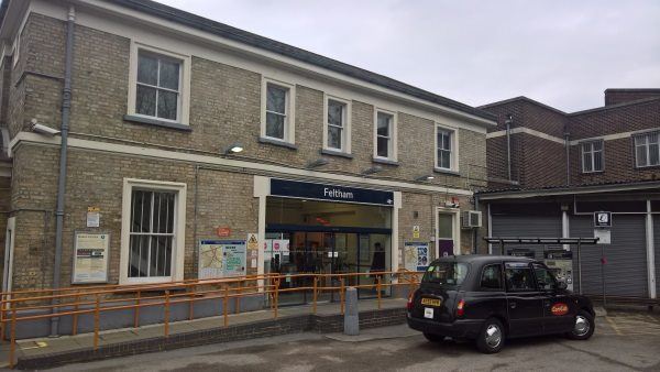
Feltham station
| Postcode | TW13 4BY |
|---|
Transport
| Travel zone | 6 |
|---|---|
| Tube/Rail lines | |
| Next stations | |
| Nearby stations | |
| Bus stops |
Feltham Station (W)
Feltham Station Victoria Rd (N)
Feltham Station Victoria Rd (S)
High Street Feltham (W)
Feltham Station (N)
High Street Feltham (E)
|
| Station code (TLC) | FEL |
| Station code (NLC) | 5559 |
| Owner | South Western Railway |
| National Rail Enquiries | |
Live Departures
Live Arrivals
Usage
Entries and exits
Interchanges
| Year | Entries and exits | Annual change % | Interchanges | Annual change % |
|---|---|---|---|---|
| 2023 | 3,076,578 | 19.5 % | ||
| 2022 | 2,575,420 | 131.9 % | ||
| 2021 | 1,110,472 | -71.7 % | ||
| 2020 | 3,922,802 | -9.1 % | ||
| 2019 | 4,316,484 | -0.1 % | ||
| 2018 | 4,320,746 | 0.1 % | ||
| 2017 | 4,314,704 | -1.8 % | ||
| 2016 | 4,392,030 | 2.3 % | ||
| 2015 | 4,294,762 | 6.6 % | ||
| 2014 | 4,027,070 | 3.7 % | ||
| 2013 | 3,882,124 | 4.9 % | ||
| 2012 | 3,699,034 | 8.6 % | ||
| 2011 | 3,405,934 | 8.8 % | ||
| 2010 | 3,130,642 | -2.0 % | ||
| 2009 | 3,194,188 | -7.6 % | ||
| 2008 | 3,458,638 | 14.7 % | ||
| 2007 | 3,014,371 | 53.3 % | ||
| 2006 | 1,966,655 | 5.5 % | ||
| 2005 | 1,864,421 |
Note: Data is for financial years, so 2020 is April 2019 to March 2020
Geography
| Latitude | 51.447897 | |
|---|---|---|
| Longitude | -0.409838 | |
| Easting | 510601 | |
| Northing | 173298 | |
| Grid reference | TQ106732 | |
| UTM reference | 30U 679981 5702817 | |
| what3words | ||
| Plus code | ||
| Distance away |
Postcodes
This map shows the postcodes where this station is the nearest to the postcode (as the crow flies)