Map of Haydons Road station, London
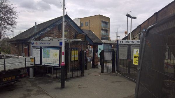
Haydons Road station
| Postcode | SW19 8SL |
|---|
Transport
| Travel zone | 3 |
|---|---|
| Tube/Rail lines | |
| Next stations | |
| Nearby stations | |
| Bus stops |
Haydons Road Rail Station (W)
Haydons Road (W)
Haydons Road (E)
Milton Road (SW19) (S)
Plough Lane (S)
Gap Road Plough Lane (W)
|
| Station code (TLC) | HYR |
| Station code (NLC) | 5289 |
| Owner | Govia Thameslink Railway (Thameslink) |
| National Rail Enquiries | |
Live Departures
Live Arrivals
Usage
Entries and exits
Interchanges
| Year | Entries and exits | Annual change % | Interchanges | Annual change % |
|---|---|---|---|---|
| 2023 | 265,026 | 19.8 % | ||
| 2022 | 221,158 | 103.1 % | ||
| 2021 | 108,910 | -70.6 % | ||
| 2020 | 370,270 | 8.9 % | ||
| 2019 | 339,922 | -9.7 % | ||
| 2018 | 376,642 | 9.4 % | ||
| 2017 | 344,280 | -14.0 % | ||
| 2016 | 400,248 | -28.8 % | ||
| 2015 | 562,106 | 5.6 % | ||
| 2014 | 532,338 | 16.7 % | ||
| 2013 | 456,246 | -0.0 % | ||
| 2012 | 456,406 | 8.4 % | ||
| 2011 | 421,220 | 10.8 % | ||
| 2010 | 380,110 | -11.0 % | ||
| 2009 | 427,114 | -13.6 % | ||
| 2008 | 494,298 | -25.9 % | ||
| 2007 | 667,463 | 323.9 % | ||
| 2006 | 157,468 | -0.7 % | ||
| 2005 | 158,560 |
Note: Data is for financial years, so 2020 is April 2019 to March 2020
Geography
| Latitude | 51.425447 | |
|---|---|---|
| Longitude | -0.188815 | |
| Easting | 526012 | |
| Northing | 171161 | |
| Grid reference | TQ260711 | |
| UTM reference | 30U 695432 5700887 | |
| what3words | ||
| Plus code | ||
| Distance away |
Postcodes
This map shows the postcodes where this station is the nearest to the postcode (as the crow flies)