Map of Knightsbridge station, London
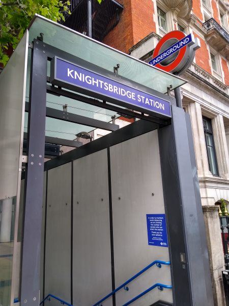
Knightsbridge station
| Postcode | SW3 1ED |
|---|
Transport
| Travel zone | 1 |
|---|---|
| Tube/Rail lines | |
| Next stations | |
| Nearby stations | |
| Bus stops |
Knightsbridge Station Harrods (W)
Knightsbridge Station (N)
Knightsbridge Station Harrods (SW)
Knightsbridge Station Harrods (E)
Harrods (W)
Pont Street (S)
|
Geography
| Latitude | 51.501355 | |
|---|---|---|
| Longitude | -0.160664 | |
| Easting | 527765 | |
| Northing | 179650 | |
| Grid reference | TQ277796 | |
| UTM reference | 30U 697062 5709402 | |
| what3words | ||
| Plus code | ||
| Distance away |
Postcodes
This map shows the postcodes where this station is the nearest to the postcode (as the crow flies)