Map of Leicester Square station, London
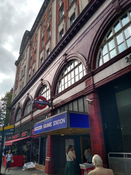
Leicester Square station
| Postcode | WC2H 0AP |
|---|
Transport
| Travel zone | 1 |
|---|---|
| Tube/Rail lines | |
| Next stations | |
| Nearby stations | |
| Bus stops |
Leicester Square (N)
Cambridge Circus (N)
St Martin's Place (S)
Cambridge Circus (S)
Gerrard Place Chinatown (NE)
Dean Street Chinatown (SW)
|
Geography
| Latitude | 51.511291 | |
|---|---|---|
| Longitude | -0.128242 | |
| Easting | 529987 | |
| Northing | 180812 | |
| Grid reference | TQ299808 | |
| UTM reference | 30U 699268 5710595 | |
| what3words | ||
| Plus code | ||
| Distance away |
Postcodes
This map shows the postcodes where this station is the nearest to the postcode (as the crow flies)