Map of New Malden station, London
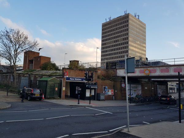
New Malden station
| Postcode | KT3 4PX |
|---|
Transport
| Travel zone | 4 |
|---|---|
| Tube/Rail lines | |
| Next stations | |
| Nearby stations | |
| Bus stops |
Dukes Avenue (KT3) (W)
New Malden Station (S)
Cambridge Avenue (KT3) (S)
New Malden High Street (N)
Sycamore Grove (N)
New Malden The Fountain (E)
|
| Station code (TLC) | NEM |
| Station code (NLC) | 5567 |
| Owner | South Western Railway |
| National Rail Enquiries | |
Live Departures
Live Arrivals
Usage
Entries and exits
Interchanges
| Year | Entries and exits | Annual change % | Interchanges | Annual change % |
|---|---|---|---|---|
| 2023 | 2,563,270 | 21.5 % | 27,938 | 23.6 % |
| 2022 | 2,108,940 | 174.0 % | 22,601 | 166.3 % |
| 2021 | 769,668 | -74.4 % | 8,487 | -66.6 % |
| 2020 | 3,002,974 | -4.9 % | 25,409 | 1.8 % |
| 2019 | 3,157,968 | 6.4 % | 24,957 | -1.5 % |
| 2018 | 2,968,000 | -0.4 % | 25,327 | -16.7 % |
| 2017 | 2,981,406 | -1.0 % | 30,397 | -10.0 % |
| 2016 | 3,012,520 | -14.5 % | 33,759 | -44.3 % |
| 2015 | 3,523,712 | 1.4 % | 60,657 | 7.1 % |
| 2014 | 3,473,600 | 2.0 % | 56,626 | -10.0 % |
| 2013 | 3,403,912 | 2.4 % | 62,908 | 51.9 % |
| 2012 | 3,325,270 | 2.8 % | 41,423 | 17.6 % |
| 2011 | 3,234,438 | 6.2 % | 35,233 | -14.1 % |
| 2010 | 3,044,468 | -2.2 % | 41,012 | 12.2 % |
| 2009 | 3,112,980 | -7.0 % | 36,541 | -13.7 % |
| 2008 | 3,346,608 | 2.6 % | 42,346 | 1.0 % |
| 2007 | 3,263,198 | 77.3 % | 41,912 | 82.2 % |
| 2006 | 1,840,780 | -2.7 % | 23,004 | 3.0 % |
| 2005 | 1,892,032 | 22,344 |
Note: Data is for financial years, so 2020 is April 2019 to March 2020
Geography
| Latitude | 51.404073 | |
|---|---|---|
| Longitude | -0.25594 | |
| Easting | 521392 | |
| Northing | 168612 | |
| Grid reference | TQ213686 | |
| UTM reference | 30U 690856 5698334 | |
| what3words | ||
| Plus code | ||
| Distance away |
Postcodes
This map shows the postcodes where this station is the nearest to the postcode (as the crow flies)