Map of Norbury station, London
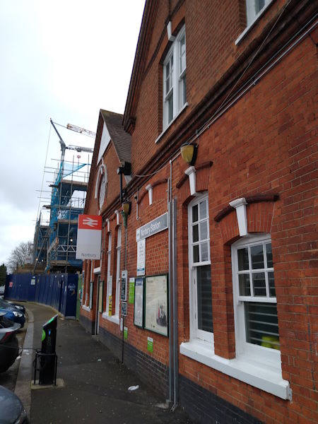
Norbury station
| Postcode | SW16 3RW |
|---|
Transport
| Travel zone | 3 |
|---|---|
| Tube/Rail lines | |
| Next stations | |
| Nearby stations | |
| Bus stops |
Norbury (N)
St Helen's Road (S)
St Helen's Road (W)
Norbury Crescent St Helen's Road (SE)
Oakhill Road (E)
Norbury (S)
|
| Station code (TLC) | NRB |
| Station code (NLC) | 5428 |
| Owner | Govia Thameslink Railway (Southern) |
| National Rail Enquiries | |
Live Departures
Live Arrivals
Usage
Entries and exits
Interchanges
| Year | Entries and exits | Annual change % | Interchanges | Annual change % |
|---|---|---|---|---|
| 2023 | 1,938,210 | 15.0 % | ||
| 2022 | 1,686,026 | 61.6 % | ||
| 2021 | 1,043,442 | -68.3 % | ||
| 2020 | 3,289,138 | -5.9 % | ||
| 2019 | 3,496,376 | 2.8 % | ||
| 2018 | 3,400,742 | -2.4 % | ||
| 2017 | 3,483,382 | -13.2 % | ||
| 2016 | 4,014,210 | 16.9 % | ||
| 2015 | 3,433,808 | 3.5 % | ||
| 2014 | 3,316,630 | 3.5 % | ||
| 2013 | 3,204,748 | 3.3 % | ||
| 2012 | 3,103,480 | 6.7 % | ||
| 2011 | 2,908,954 | 13.1 % | ||
| 2010 | 2,572,018 | 2.4 % | ||
| 2009 | 2,511,114 | -7.1 % | ||
| 2008 | 2,703,720 | 9.4 % | ||
| 2007 | 2,471,819 | 55.4 % | ||
| 2006 | 1,590,579 | 8.6 % | ||
| 2005 | 1,464,984 |
Note: Data is for financial years, so 2020 is April 2019 to March 2020
Geography
| Latitude | 51.411444 | |
|---|---|---|
| Longitude | -0.121926 | |
| Easting | 530650 | |
| Northing | 169690 | |
| Grid reference | TQ306696 | |
| UTM reference | 30U 700143 5699511 | |
| what3words | ||
| Plus code | ||
| Distance away |
Postcodes
This map shows the postcodes where this station is the nearest to the postcode (as the crow flies)