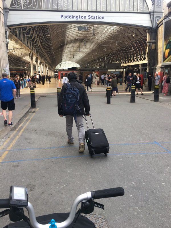
Map of Paddington station, London

Photo: Martin W
Paddington station
| Postcode | W2 1RH |
|---|
Transport
| Travel zone | 1 |
|---|---|
| Tube/Rail lines | |
| Next stations | |
| Nearby stations | |
| Bus stops |
Craven Road (W2) (W)
Paddington Rail Station (S)
Paddington Station Eastbourne Terrace (SE)
Paddington Rail Station (E)
Paddington Station Eastbourne Terrace (NW)
St Marys Hospital (N)
|
| Station code (TLC) | PAD |
| Station code (NLC) | 3087 |
| Owner | Network Rail |
| National Rail Enquiries | |
Live Departures
Live Arrivals
Usage
Entries and exits
Interchanges
| Year | Entries and exits | Annual change % | Interchanges | Annual change % |
|---|---|---|---|---|
| 2023 | 59,182,926 | -32.0 % | 3,708,113 | 79.7 % |
| 2022 | 23,870,510 | 273.4 % | 2,063,801 | 229.6 % |
| 2021 | 6,391,896 | 10.0 % | 626,100 | -79.0 % |
| 2020 | 44,871,096 | 17.5 % | 2,980,566 | 30.1 % |
| 2019 | 38,181,588 | 4.4 % | 2,291,135 | -15.3 % |
| 2018 | 36,578,292 | 2.1 % | 2,704,165 | -9.1 % |
| 2017 | 35,835,970 | -1.9 % | 2,976,076 | -0.5 % |
| 2016 | 36,536,074 | 2.3 % | 2,990,923 | 5.2 % |
| 2015 | 35,724,684 | 1.8 % | 2,842,655 | 4.7 % |
| 2014 | 35,093,628 | 2.8 % | 2,714,304 | -5.6 % |
| 2013 | 34,143,220 | 1.2 % | 2,875,038 | 7.4 % |
| 2012 | 33,736,546 | 4.8 % | 2,677,902 | 79.7 % |
| 2011 | 32,200,316 | 10.6 % | 1,490,595 | 1.1 % |
| 2010 | 29,104,198 | -0.7 % | 1,474,752 | -2.5 % |
| 2009 | 29,302,758 | 10.5 % | 1,512,523 | -13.8 % |
| 2008 | 26,521,437 | -2.7 % | 1,754,155 | -4.8 % |
| 2007 | 27,258,741 | 2.9 % | 1,841,952 | 29.4 % |
| 2006 | 26,501,166 | 2.8 % | 1,422,931 | 2.8 % |
| 2005 | 25,788,145 | 1,384,430 |
Note: Data is for financial years, so 2020 is April 2019 to March 2020
Geography
| Latitude | 51.515994 | |
|---|---|---|
| Longitude | -0.176174 | |
| Easting | 526680 | |
| Northing | 181185 | |
| Grid reference | TQ266811 | |
| UTM reference | 30U 695923 5710988 | |
| what3words | ||
| Plus code | ||
| Distance away |
Postcodes
This map shows the postcodes where this station is the nearest to the postcode (as the crow flies)