Map of Richmond station, London
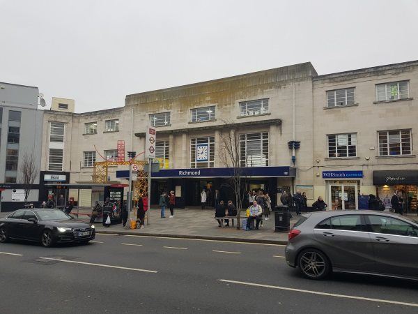
Richmond station
| Postcode | TW9 2AZ |
|---|
Transport
| Travel zone | 4 |
|---|---|
| Tube/Rail lines | |
| Next stations | |
| Nearby stations | |
| Bus stops |
Richmond Station (N)
Eton Street (E)
The Quadrant Richmond (S)
Eton Street (W)
Dynevor Road (S)
Richmond Circus (W)
|
| Station code (TLC) | RMD |
| Station code (NLC) | 5570 |
| Owner | South Western Railway |
| National Rail Enquiries | |
Live Departures
Live Arrivals
Usage
Entries and exits
Interchanges
| Year | Entries and exits | Annual change % | Interchanges | Annual change % |
|---|---|---|---|---|
| 2023 | 7,924,626 | 23.4 % | 1,029,867 | 32.0 % |
| 2022 | 6,423,806 | 138.0 % | 779,941 | 137.1 % |
| 2021 | 2,698,738 | -75.5 % | 328,907 | -78.6 % |
| 2020 | 11,003,124 | -5.7 % | 1,539,195 | -2.5 % |
| 2019 | 11,666,916 | 1.5 % | 1,578,103 | -3.4 % |
| 2018 | 11,493,968 | -1.3 % | 1,633,972 | 2.0 % |
| 2017 | 11,650,544 | -1.8 % | 1,602,560 | -2.4 % |
| 2016 | 11,859,362 | 21.4 % | 1,642,110 | -12.5 % |
| 2015 | 9,767,824 | 2.5 % | 1,877,074 | -0.5 % |
| 2014 | 9,533,696 | 4.8 % | 1,886,040 | 16.9 % |
| 2013 | 9,093,160 | 8.2 % | 1,613,324 | 16.2 % |
| 2012 | 8,402,376 | 10.5 % | 1,388,212 | 18.5 % |
| 2011 | 7,604,196 | 14.2 % | 1,171,867 | 15.3 % |
| 2010 | 6,661,394 | 0.5 % | 1,016,190 | -6.1 % |
| 2009 | 6,628,372 | -7.4 % | 1,082,422 | -4.9 % |
| 2008 | 7,156,535 | 9.7 % | 1,138,688 | 47.3 % |
| 2007 | 6,525,640 | -11.2 % | 772,787 | -34.2 % |
| 2006 | 7,348,300 | -0.7 % | 1,175,298 | -13.5 % |
| 2005 | 7,399,815 | 1,358,504 |
Note: Data is for financial years, so 2020 is April 2019 to March 2020
Geography
| Latitude | 51.463059 | |
|---|---|---|
| Longitude | -0.301558 | |
| Easting | 518072 | |
| Northing | 175174 | |
| Grid reference | TQ180751 | |
| UTM reference | 30U 687442 5704774 | |
| what3words | ||
| Plus code | ||
| Distance away |
Postcodes
This map shows the postcodes where this station is the nearest to the postcode (as the crow flies)