Map of South Acton station, London
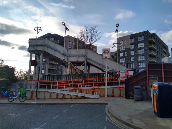
South Acton station
| Postcode | W3 0DS |
|---|
Transport
| Travel zone | 3 |
|---|---|
| Tube/Rail lines | |
| Next stations | |
| Nearby stations | |
| Bus stops |
Newton Avenue (W)
Palmerston Road Stanley Road (W)
Palmerston Road Stanley Road (E)
Stanhope Way Acton Works (SE)
Stanhope Way Acton Works (NW)
Chiswick Business Park (S)
|
| Station code (TLC) | SAT |
| Station code (NLC) | 1452 |
| Owner | London Overground |
| National Rail Enquiries | |
Live Departures
Live Arrivals
Usage
Entries and exits
Interchanges
| Year | Entries and exits | Annual change % | Interchanges | Annual change % |
|---|---|---|---|---|
| 2023 | 614,668 | 18.5 % | ||
| 2022 | 518,546 | 96.9 % | ||
| 2021 | 263,304 | -66.8 % | ||
| 2020 | 793,690 | -9.4 % | ||
| 2019 | 875,784 | 6.8 % | ||
| 2018 | 819,894 | 3.5 % | ||
| 2017 | 792,242 | 9.7 % | ||
| 2016 | 722,238 | -18.1 % | ||
| 2015 | 882,356 | 6.1 % | ||
| 2014 | 831,908 | 25.9 % | ||
| 2013 | 660,954 | 26.2 % | ||
| 2012 | 523,706 | 36.3 % | ||
| 2011 | 384,356 | 42.3 % | ||
| 2010 | 270,150 | -10.4 % | ||
| 2009 | 301,354 | -23.9 % | ||
| 2008 | 396,166 | 7.7 % | ||
| 2007 | 367,851 | 354.2 % | ||
| 2006 | 80,995 | 7.7 % | ||
| 2005 | 75,193 |
Note: Data is for financial years, so 2020 is April 2019 to March 2020
Geography
| Latitude | 51.499694 | |
|---|---|---|
| Longitude | -0.270157 | |
| Easting | 520166 | |
| Northing | 179279 | |
| Grid reference | TQ201792 | |
| UTM reference | 30U 689471 5708928 | |
| what3words | ||
| Plus code | ||
| Distance away |
Postcodes
This map shows the postcodes where this station is the nearest to the postcode (as the crow flies)