Map of South Ealing station, London
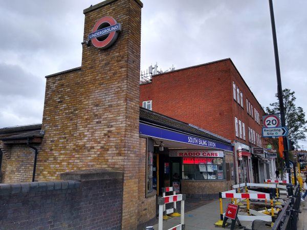
South Ealing station
| Postcode | W5 4QB |
|---|
Transport
| Travel zone | 3 |
|---|---|
| Tube/Rail lines | |
| Next stations | |
| Nearby stations | |
| Bus stops |
South Ealing (N)
Lothair Road (N)
St Mary's Church (W5) (S)
Popes Lane (N)
South Ealing Road (E)
South Ealing Road (W)
|
Geography
| Latitude | 51.501644 | |
|---|---|---|
| Longitude | -0.30704 | |
| Easting | 517605 | |
| Northing | 179437 | |
| Grid reference | TQ176794 | |
| UTM reference | 30U 686903 5709050 | |
| what3words | ||
| Plus code | ||
| Distance away |
Postcodes
This map shows the postcodes where this station is the nearest to the postcode (as the crow flies)