Map of Surbiton station, London
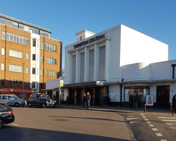
Surbiton station
| Postcode | KT6 4PE |
|---|
Transport
| Travel zone | 6 |
|---|---|
| Tube/Rail lines | |
| Next stations | |
| Nearby stations | |
| Bus stops |
Surbiton (W)
Surbiton (E)
Claremont Rd Surbiton Station (N)
Surbiton Station Victoria Road (W)
The Crescent Surbiton (S)
Mountcombe Close (SE)
|
| Station code (TLC) | SUR |
| Station code (NLC) | 5571 |
| Owner | South Western Railway |
| National Rail Enquiries | |
Live Departures
Live Arrivals
Usage
Entries and exits
Interchanges
| Year | Entries and exits | Annual change % | Interchanges | Annual change % |
|---|---|---|---|---|
| 2023 | 6,610,018 | 32.5 % | 434,021 | 16.7 % |
| 2022 | 4,987,860 | 156.4 % | 371,765 | 196.4 % |
| 2021 | 1,945,154 | -77.9 % | 125,434 | -81.9 % |
| 2020 | 8,794,364 | -5.7 % | 691,452 | -1.7 % |
| 2019 | 9,326,392 | 2.1 % | 703,447 | 0.8 % |
| 2018 | 9,137,280 | -2.6 % | 697,800 | -4.5 % |
| 2017 | 9,376,696 | -0.7 % | 730,399 | -9.3 % |
| 2016 | 9,443,276 | -1.7 % | 805,352 | -14.0 % |
| 2015 | 9,603,768 | 4.3 % | 936,934 | 2.4 % |
| 2014 | 9,206,902 | 2.0 % | 915,123 | 7.1 % |
| 2013 | 9,030,624 | 4.8 % | 854,596 | 1.2 % |
| 2012 | 8,620,100 | 3.4 % | 844,724 | -5.9 % |
| 2011 | 8,340,356 | 3.8 % | 897,935 | -4.1 % |
| 2010 | 8,033,770 | -4.2 % | 936,772 | -28.2 % |
| 2009 | 8,385,738 | -11.2 % | 1,304,636 | -1.2 % |
| 2008 | 9,445,960 | 5.1 % | 1,319,900 | 77.0 % |
| 2007 | 8,986,893 | 55.7 % | 745,503 | 55.6 % |
| 2006 | 5,772,843 | -1.2 % | 479,135 | -2.8 % |
| 2005 | 5,845,840 | 492,929 |
Note: Data is for financial years, so 2020 is April 2019 to March 2020
Geography
| Latitude | 51.392458 | |
|---|---|---|
| Longitude | -0.303959 | |
| Easting | 518070 | |
| Northing | 167315 | |
| Grid reference | TQ180673 | |
| UTM reference | 30U 687564 5696918 | |
| what3words | ||
| Plus code | ||
| Distance away |
Postcodes
This map shows the postcodes where this station is the nearest to the postcode (as the crow flies)