Map of Sutton Common station, London
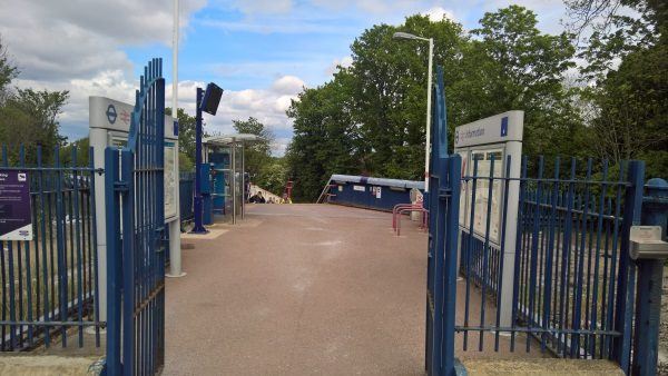
Sutton Common station
| Postcode | SM1 3HY |
|---|
Transport
| Travel zone | 4 |
|---|---|
| Tube/Rail lines | |
| Next stations | |
| Nearby stations | |
| Bus stops |
Sutton Common Station (NW)
Angel Hill (W)
Sutton Common Road (E)
Marlborough Road Benhilton (W)
Pylbrook Road (E)
Broomloan Lane (S)
|
| Station code (TLC) | SUC |
| Station code (NLC) | 5436 |
| Owner | Govia Thameslink Railway (Thameslink) |
| National Rail Enquiries | |
Live Departures
Live Arrivals
Usage
Entries and exits
Interchanges
| Year | Entries and exits | Annual change % | Interchanges | Annual change % |
|---|---|---|---|---|
| 2023 | 225,340 | 18.3 % | ||
| 2022 | 190,422 | 92.7 % | ||
| 2021 | 98,804 | -71.5 % | ||
| 2020 | 346,556 | 9.8 % | ||
| 2019 | 315,636 | -7.3 % | ||
| 2018 | 340,494 | 7.6 % | ||
| 2017 | 316,454 | -12.5 % | ||
| 2016 | 361,812 | -9.1 % | ||
| 2015 | 398,246 | 5.9 % | ||
| 2014 | 376,160 | 16.4 % | ||
| 2013 | 323,266 | 6.5 % | ||
| 2012 | 303,538 | 11.3 % | ||
| 2011 | 272,680 | 14.7 % | ||
| 2010 | 237,740 | -12.0 % | ||
| 2009 | 270,188 | -15.7 % | ||
| 2008 | 320,495 | 34.3 % | ||
| 2007 | 238,683 | 144.9 % | ||
| 2006 | 97,481 | 13.0 % | ||
| 2005 | 86,304 |
Note: Data is for financial years, so 2020 is April 2019 to March 2020
Geography
| Latitude | 51.374889 | |
|---|---|---|
| Longitude | -0.196343 | |
| Easting | 525593 | |
| Northing | 165598 | |
| Grid reference | TQ255655 | |
| UTM reference | 30U 695124 5695246 | |
| what3words | ||
| Plus code | ||
| Distance away |
Postcodes
This map shows the postcodes where this station is the nearest to the postcode (as the crow flies)