Map of Thornton Heath station, London
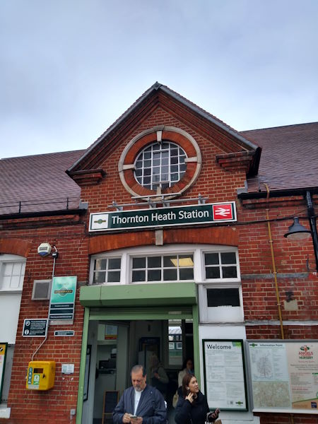
Thornton Heath station
| Postcode | CR7 8RX |
|---|
Transport
| Travel zone | 4 |
|---|---|
| Tube/Rail lines | |
| Next stations | |
| Nearby stations | |
| Bus stops |
Thornton Heath Station (W)
Parchmore Road (N)
Thornton Heath Clock Tower (S)
Brook Road (CR7) (E)
Parchmore Methodist Church (S)
Thornton Heath Clock Tower (E)
|
| Station code (TLC) | TTH |
| Station code (NLC) | 5388 |
| Owner | Govia Thameslink Railway (Southern) |
| National Rail Enquiries | |
Live Departures
Live Arrivals
Usage
Entries and exits
Interchanges
| Year | Entries and exits | Annual change % | Interchanges | Annual change % |
|---|---|---|---|---|
| 2023 | 1,915,222 | 13.2 % | ||
| 2022 | 1,692,254 | 62.0 % | ||
| 2021 | 1,044,488 | -66.3 % | ||
| 2020 | 3,098,306 | -5.5 % | ||
| 2019 | 3,277,862 | -1.5 % | ||
| 2018 | 3,327,476 | -1.9 % | ||
| 2017 | 3,390,804 | -12.1 % | ||
| 2016 | 3,856,500 | 18.1 % | ||
| 2015 | 3,266,642 | 6.3 % | ||
| 2014 | 3,073,494 | 3.5 % | ||
| 2013 | 2,970,480 | 4.3 % | ||
| 2012 | 2,848,670 | 8.2 % | ||
| 2011 | 2,633,274 | 10.5 % | ||
| 2010 | 2,383,818 | 0.3 % | ||
| 2009 | 2,377,258 | -8.3 % | ||
| 2008 | 2,593,059 | 9.6 % | ||
| 2007 | 2,365,090 | 30.2 % | ||
| 2006 | 1,816,383 | 1.7 % | ||
| 2005 | 1,785,882 |
Note: Data is for financial years, so 2020 is April 2019 to March 2020
Geography
| Latitude | 51.398776 | |
|---|---|---|
| Longitude | -0.100306 | |
| Easting | 532242 | |
| Northing | 168317 | |
| Grid reference | TQ322683 | |
| UTM reference | 30U 701702 5698162 | |
| what3words | ||
| Plus code | ||
| Distance away |
Postcodes
This map shows the postcodes where this station is the nearest to the postcode (as the crow flies)