Map of Tooting station, London
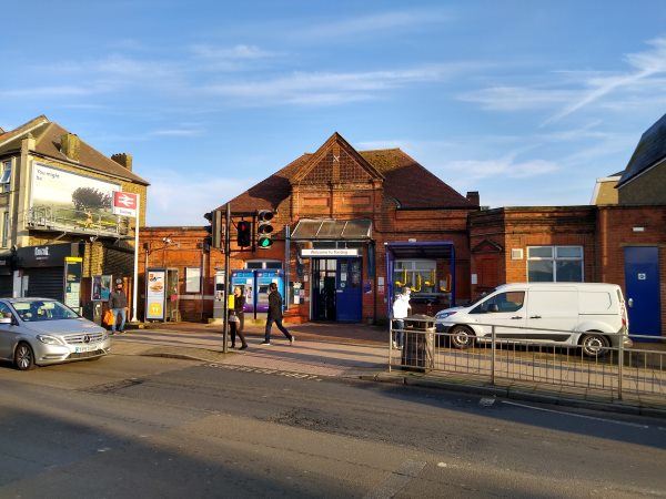
Tooting station
| Postcode | SW17 9JR |
|---|
Transport
| Travel zone | 3 |
|---|---|
| Tube/Rail lines | |
| Next stations | |
| Nearby stations | |
| Bus stops |
Tooting Station (N)
Gorringe Park Avenue (S)
Gorringe Park Avenue (N)
Amen Corner (N)
Amen Corner (W)
Amen Corner (E)
|
| Station code (TLC) | TOO |
| Station code (NLC) | 5389 |
| Owner | Govia Thameslink Railway (Thameslink) |
| National Rail Enquiries | |
Live Departures
Live Arrivals
Usage
Entries and exits
Interchanges
| Year | Entries and exits | Annual change % | Interchanges | Annual change % |
|---|---|---|---|---|
| 2023 | 702,972 | 11.4 % | ||
| 2022 | 630,816 | 60.9 % | ||
| 2021 | 391,980 | -62.5 % | ||
| 2020 | 1,045,132 | 10.8 % | ||
| 2019 | 942,892 | -10.3 % | ||
| 2018 | 1,050,990 | 2.2 % | ||
| 2017 | 1,028,118 | -15.9 % | ||
| 2016 | 1,222,542 | -15.8 % | ||
| 2015 | 1,451,732 | 10.2 % | ||
| 2014 | 1,317,760 | 21.6 % | ||
| 2013 | 1,083,328 | 1.7 % | ||
| 2012 | 1,065,068 | 6.4 % | ||
| 2011 | 1,000,590 | 5.9 % | ||
| 2010 | 944,720 | -15.1 % | ||
| 2009 | 1,112,464 | -17.9 % | ||
| 2008 | 1,354,500 | 28.7 % | ||
| 2007 | 1,052,365 | 63.1 % | ||
| 2006 | 645,316 | 2.5 % | ||
| 2005 | 629,734 |
Note: Data is for financial years, so 2020 is April 2019 to March 2020
Geography
| Latitude | 51.419847 | |
|---|---|---|
| Longitude | -0.161278 | |
| Easting | 527969 | |
| Northing | 170591 | |
| Grid reference | TQ279705 | |
| UTM reference | 30U 697371 5700338 | |
| what3words | ||
| Plus code | ||
| Distance away |
Postcodes
This map shows the postcodes where this station is the nearest to the postcode (as the crow flies)