Map of Victoria station, London
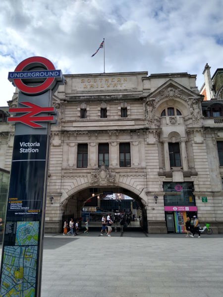
Victoria station
| Postcode | SW1E 5JX |
|---|
Transport
| Travel zone | 1 |
|---|---|
| Tube/Rail lines | |
| Next stations | |
| Nearby stations | |
| Bus stops |
Victoria Station (S)
Victoria Stn Grosvenor Gdns (N)
Victoria Station (W)
Victoria Station (E)
Victoria Station (N)
Grosvenor Gardens (SW1) (W)
|
| Station code (TLC) | VIC |
| Station code (NLC) | 5426 |
| Owner | Network Rail |
| National Rail Enquiries | |
Live Departures
Live Arrivals
Usage
Entries and exits
Interchanges
| Year | Entries and exits | Annual change % | Interchanges | Annual change % |
|---|---|---|---|---|
| 2023 | 45,563,972 | 23.9 % | 3,267,934 | -0.8 % |
| 2022 | 36,776,338 | -144.8 % | 3,295,937 | 138.1 % |
| 2021 | 13,791,322 | -22.9 % | 1,384,525 | -75.9 % |
| 2020 | 73,559,158 | -1.5 % | 5,755,668 | -0.8 % |
| 2019 | 74,715,808 | -0.3 % | 5,800,177 | -5.3 % |
| 2018 | 74,955,332 | -1.2 % | 6,126,428 | 6.8 % |
| 2017 | 75,889,396 | -6.5 % | 5,734,424 | 2.0 % |
| 2016 | 81,151,418 | -4.9 % | 5,621,428 | -41.7 % |
| 2015 | 85,337,996 | 4.9 % | 9,637,566 | 7.0 % |
| 2014 | 81,356,330 | 5.2 % | 9,005,162 | 8.3 % |
| 2013 | 77,346,676 | 1.5 % | 8,311,851 | -9.2 % |
| 2012 | 76,231,290 | 3.6 % | 9,156,710 | 90.7 % |
| 2011 | 73,573,492 | 4.8 % | 4,800,979 | -5.5 % |
| 2010 | 70,224,543 | 0.1 % | 5,078,272 | 12.9 % |
| 2009 | 70,157,115 | -1.0 % | 4,498,079 | 34.5 % |
| 2008 | 70,854,435 | 6.2 % | 3,344,469 | 1.5 % |
| 2007 | 66,749,335 | 39.5 % | 3,293,684 | 1.5 % |
| 2006 | 47,859,728 | -0.4 % | 3,244,124 | -8.7 % |
| 2005 | 48,046,867 | 3,551,921 |
Note: Data is for financial years, so 2020 is April 2019 to March 2020
Geography
| Latitude | 51.495256 | |
|---|---|---|
| Longitude | -0.144559 | |
| Easting | 528941 | |
| Northing | 179131 | |
| Grid reference | TQ289791 | |
| UTM reference | 30U 698206 5708768 | |
| what3words | ||
| Plus code | ||
| Distance away |
Postcodes
This map shows the postcodes where this station is the nearest to the postcode (as the crow flies)