Map of Wandsworth Common station, London
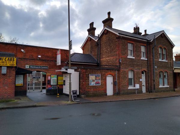
Wandsworth Common station
| Postcode | SW12 8NL |
|---|
Transport
| Travel zone | 3 |
|---|---|
| Tube/Rail lines | |
| Next stations | |
| Nearby stations | |
| Bus stops |
Bolingbroke Grove Ravenslea Road (E)
Bolingbroke Grove Ravenslea Road (W)
Wandsworth Common (N)
Granard Road (S)
Oak Lodge School (W)
Bellevue Road Trinity Road (SW)
|
| Station code (TLC) | WSW |
| Station code (NLC) | 5395 |
| Owner | Govia Thameslink Railway (Southern) |
| National Rail Enquiries | |
Live Departures
Live Arrivals
Usage
Entries and exits
Interchanges
| Year | Entries and exits | Annual change % | Interchanges | Annual change % |
|---|---|---|---|---|
| 2023 | 746,682 | 10.5 % | ||
| 2022 | 675,682 | 68.4 % | ||
| 2021 | 401,220 | -73.2 % | ||
| 2020 | 1,495,728 | -4.3 % | ||
| 2019 | 1,563,122 | 6.1 % | ||
| 2018 | 1,473,800 | 0.1 % | ||
| 2017 | 1,472,394 | -12.9 % | ||
| 2016 | 1,689,888 | -7.9 % | ||
| 2015 | 1,835,084 | 2.6 % | ||
| 2014 | 1,789,040 | 4.8 % | ||
| 2013 | 1,706,724 | -3.9 % | ||
| 2012 | 1,776,140 | 4.1 % | ||
| 2011 | 1,705,476 | 17.2 % | ||
| 2010 | 1,454,954 | 2.5 % | ||
| 2009 | 1,419,254 | -11.1 % | ||
| 2008 | 1,596,175 | 15.9 % | ||
| 2007 | 1,377,136 | 67.5 % | ||
| 2006 | 822,024 | 0.1 % | ||
| 2005 | 821,302 |
Note: Data is for financial years, so 2020 is April 2019 to March 2020
Geography
| Latitude | 51.446183 | |
|---|---|---|
| Longitude | -0.163386 | |
| Easting | 527719 | |
| Northing | 173530 | |
| Grid reference | TQ277735 | |
| UTM reference | 30U 697111 5703261 | |
| what3words | ||
| Plus code | ||
| Distance away |
Postcodes
This map shows the postcodes where this station is the nearest to the postcode (as the crow flies)