Map of Wimbledon Chase station, London
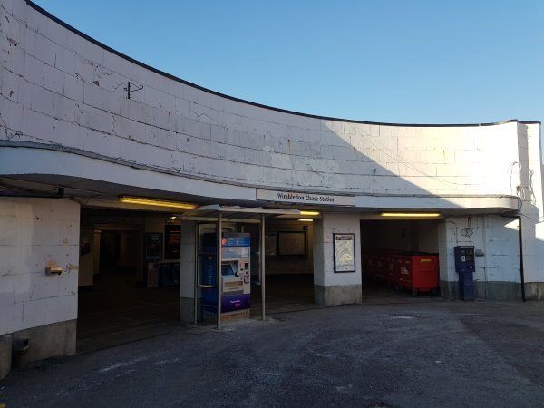
Wimbledon Chase station
| Postcode | SW20 8DB |
|---|
Transport
| Travel zone | 3 |
|---|---|
| Tube/Rail lines | |
| Next stations | |
| Nearby stations | |
| Bus stops |
Wimbledon Chase Station (E)
Lower Downs Road (N)
Merton Park Baptist Church (W)
Merton Park Baptist Church (E)
Lower Downs Road (S)
The Nelson Health Centre (E)
|
| Station code (TLC) | WBO |
| Station code (NLC) | 5612 |
| Owner | Govia Thameslink Railway (Thameslink) |
| National Rail Enquiries | |
Live Departures
Live Arrivals
Usage
Entries and exits
Interchanges
| Year | Entries and exits | Annual change % | Interchanges | Annual change % |
|---|---|---|---|---|
| 2023 | 233,648 | 21.9 % | ||
| 2022 | 191,706 | 86.6 % | ||
| 2021 | 102,746 | -72.9 % | ||
| 2020 | 379,152 | 18.8 % | ||
| 2019 | 319,186 | -0.7 % | ||
| 2018 | 321,410 | 10.7 % | ||
| 2017 | 290,278 | -15.1 % | ||
| 2016 | 341,866 | -28.9 % | ||
| 2015 | 480,722 | 5.6 % | ||
| 2014 | 455,396 | 16.9 % | ||
| 2013 | 389,586 | 2.7 % | ||
| 2012 | 379,482 | 17.7 % | ||
| 2011 | 322,392 | 14.1 % | ||
| 2010 | 282,548 | -7.4 % | ||
| 2009 | 305,102 | -17.5 % | ||
| 2008 | 369,954 | -5.6 % | ||
| 2007 | 391,883 | 426.1 % | ||
| 2006 | 74,491 | 6.3 % | ||
| 2005 | 70,073 |
Note: Data is for financial years, so 2020 is April 2019 to March 2020
Geography
| Latitude | 51.409557 | |
|---|---|---|
| Longitude | -0.214031 | |
| Easting | 524306 | |
| Northing | 169347 | |
| Grid reference | TQ243693 | |
| UTM reference | 30U 693747 5699053 | |
| what3words | ||
| Plus code | ||
| Distance away |
Postcodes
This map shows the postcodes where this station is the nearest to the postcode (as the crow flies)