Map of Bourne End station
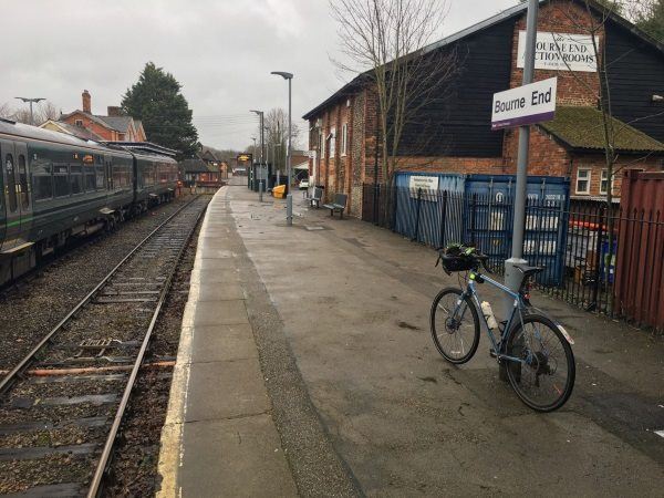
Photo: Martin W
Bourne End station
| Postcode | SL8 5QH |
|---|
Transport
| Nearby stations | |
|---|---|
| Bus stops |
Railway Station (S)
St Mark's Church (N)
St Mark's Church (S)
Post Office (NE)
Post Office (SW)
New Road (E)
|
| Station code (TLC) | BNE |
| Station code (NLC) | 3018 |
| Owner | Great Western Railway |
| National Rail Enquiries | |
Live Departures
Live Arrivals
Usage
Entries and exits
Interchanges
| Year | Entries and exits | Annual change % | Interchanges | Annual change % |
|---|---|---|---|---|
| 2023 | 194,058 | 16.3 % | 84,287 | 29.6 % |
| 2022 | 166,912 | 172.0 % | 65,042 | 183.3 % |
| 2021 | 61,366 | -76.5 % | 22,960 | -79.4 % |
| 2020 | 261,122 | -2.0 % | 111,635 | 7.0 % |
| 2019 | 266,376 | 9.5 % | 104,376 | 7.7 % |
| 2018 | 243,296 | -5.4 % | 96,873 | 10.2 % |
| 2017 | 257,156 | 2.3 % | 87,907 | 3.5 % |
| 2016 | 251,288 | 2.6 % | 84,921 | 37.4 % |
| 2015 | 244,818 | -2.9 % | 61,802 | 6.1 % |
| 2014 | 252,244 | 1.0 % | 58,269 | -6.0 % |
| 2013 | 249,672 | 4.1 % | 61,995 | 3.9 % |
| 2012 | 239,872 | 1.1 % | 59,690 | -20.7 % |
| 2011 | 237,216 | 12.1 % | 75,296 | 10.3 % |
| 2010 | 211,690 | -7.6 % | 68,237 | -2.3 % |
| 2009 | 228,978 | -1.8 % | 69,854 | 10.4 % |
| 2008 | 233,195 | -2.0 % | 63,294 | 11.7 % |
| 2007 | 238,018 | -0.9 % | 56,665 | -0.5 % |
| 2006 | 240,163 | -5.4 % | 56,939 | -0.3 % |
| 2005 | 253,787 | 57,114 |
Note: Data is for financial years, so 2020 is April 2019 to March 2020
Geography
| Latitude | 51.577117 | |
|---|---|---|
| Longitude | -0.710474 | |
| Easting | 489456 | |
| Northing | 187260 | |
| Grid reference | SU894872 | |
| UTM reference | 30U 658644 5716489 | |
| what3words | ||
| Plus code | ||
| Distance away |
Postcodes
This map shows the postcodes where this station is the nearest to the postcode (as the crow flies)