Map of Carshalton station, London
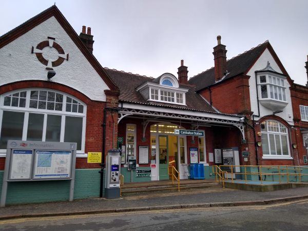
Carshalton station
| Postcode | SM5 2HT |
|---|
Transport
| Travel zone | 5 |
|---|---|
| Tube/Rail lines | |
| Next stations | |
| Nearby stations | |
| Bus stops |
Carshalton Station (N)
Carshalton College (S)
Colston Avenue (W)
Carshalton Ponds (N)
Wrythe Green (W)
Wrythe Green Road (E)
|
| Station code (TLC) | CSH |
| Station code (NLC) | 5405 |
| Owner | Govia Thameslink Railway (Southern) |
| National Rail Enquiries | |
Live Departures
Live Arrivals
Usage
Entries and exits
Interchanges
| Year | Entries and exits | Annual change % | Interchanges | Annual change % |
|---|---|---|---|---|
| 2023 | 1,059,336 | 8.5 % | ||
| 2022 | 975,976 | 119.5 % | ||
| 2021 | 444,590 | -69.6 % | ||
| 2020 | 1,464,432 | 4.2 % | ||
| 2019 | 1,405,916 | 8.1 % | ||
| 2018 | 1,300,972 | 0.4 % | ||
| 2017 | 1,296,178 | -9.4 % | ||
| 2016 | 1,430,116 | 0.3 % | ||
| 2015 | 1,425,636 | 5.2 % | ||
| 2014 | 1,354,706 | 6.1 % | ||
| 2013 | 1,276,752 | 3.0 % | ||
| 2012 | 1,239,984 | 4.5 % | ||
| 2011 | 1,186,776 | 3.6 % | ||
| 2010 | 1,145,582 | -1.8 % | ||
| 2009 | 1,166,884 | -7.5 % | ||
| 2008 | 1,261,108 | 12.4 % | ||
| 2007 | 1,122,233 | 40.6 % | ||
| 2006 | 798,202 | 0.2 % | ||
| 2005 | 796,695 |
Note: Data is for financial years, so 2020 is April 2019 to March 2020
Geography
| Latitude | 51.368453 | |
|---|---|---|
| Longitude | -0.166369 | |
| Easting | 527737 | |
| Northing | 164858 | |
| Grid reference | TQ277648 | |
| UTM reference | 30U 697238 5694610 | |
| what3words | ||
| Plus code | ||
| Distance away |
Postcodes
This map shows the postcodes where this station is the nearest to the postcode (as the crow flies)