Map of Claygate station
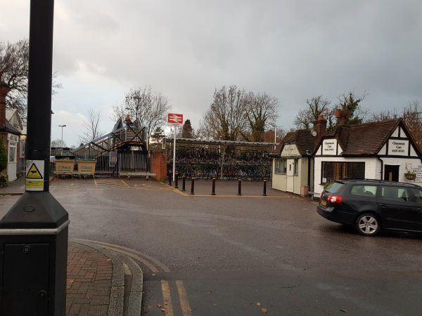
Claygate station
| Postcode | KT10 0PB |
|---|
Transport
| Nearby stations | |
|---|---|
| Bus stops |
Loseberry Road (E)
Loseberry Road (W)
Claygate Railway Station (NW)
Woodbourne Drive (NW)
Oaken Lane North (N)
Woodbourne Drive (SE)
|
| Station code (TLC) | CLG |
| Station code (NLC) | 5556 |
| Owner | South Western Railway |
| National Rail Enquiries | |
Live Departures
Live Arrivals
Usage
Entries and exits
Interchanges
| Year | Entries and exits | Annual change % | Interchanges | Annual change % |
|---|---|---|---|---|
| 2023 | 410,800 | 34.6 % | ||
| 2022 | 305,144 | 234.4 % | ||
| 2021 | 91,254 | -84.7 % | ||
| 2020 | 594,834 | -9.4 % | ||
| 2019 | 656,558 | 0.8 % | ||
| 2018 | 651,366 | -6.1 % | ||
| 2017 | 693,752 | -0.2 % | ||
| 2016 | 695,010 | 3.3 % | ||
| 2015 | 672,906 | 2.3 % | ||
| 2014 | 657,480 | 1.1 % | ||
| 2013 | 650,126 | 4.0 % | ||
| 2012 | 625,000 | 4.8 % | ||
| 2011 | 596,476 | 2.2 % | ||
| 2010 | 583,488 | -3.8 % | ||
| 2009 | 606,732 | 3.0 % | ||
| 2008 | 589,341 | 13.5 % | ||
| 2007 | 519,030 | 11.9 % | ||
| 2006 | 463,888 | -1.4 % | ||
| 2005 | 470,260 |
Note: Data is for financial years, so 2020 is April 2019 to March 2020
Geography
| Latitude | 51.361213 | |
|---|---|---|
| Longitude | -0.348248 | |
| Easting | 515097 | |
| Northing | 163755 | |
| Grid reference | TQ150637 | |
| UTM reference | 30U 684609 5693332 | |
| what3words | ||
| Plus code | ||
| Distance away |
Postcodes
This map shows the postcodes where this station is the nearest to the postcode (as the crow flies)