Map of Hastings station
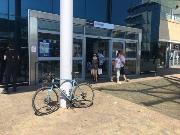
Photo: Martin W
Hastings station
| Postcode | TN34 1BA |
|---|
Transport
| Nearby stations | |
|---|---|
| Bus stops |
Cambridge Gardens (NW)
Cambridge Road (W)
Stanley Road (NW)
Cornwallis Gardens (S)
Havelock Road (SE)
Robertson Street (E)
|
| Station code (TLC) | HGS |
| Station code (NLC) | 5219 |
| Owner | Southeastern |
| National Rail Enquiries | |
Live Departures
Live Arrivals
Usage
Entries and exits
Interchanges
| Year | Entries and exits | Annual change % | Interchanges | Annual change % |
|---|---|---|---|---|
| 2023 | 1,902,720 | 12.5 % | 35,074 | -15.5 % |
| 2022 | 1,690,878 | 133.3 % | 41,519 | 163.1 % |
| 2021 | 724,888 | -70.0 % | 15,778 | -75.8 % |
| 2020 | 2,413,544 | 1.3 % | 65,176 | -4.7 % |
| 2019 | 2,382,998 | 9.7 % | 68,378 | 121.2 % |
| 2018 | 2,171,872 | 7.0 % | 30,912 | 16.4 % |
| 2017 | 2,030,706 | -12.3 % | 26,557 | -15.3 % |
| 2016 | 2,314,280 | 3.0 % | 31,370 | 0.3 % |
| 2015 | 2,247,572 | 8.6 % | 31,276 | 15.9 % |
| 2014 | 2,068,656 | 2.5 % | 26,996 | -24.8 % |
| 2013 | 2,019,092 | 0.3 % | 35,877 | -2.4 % |
| 2012 | 2,013,248 | 4.2 % | 36,755 | 95.3 % |
| 2011 | 1,932,870 | 7.3 % | 18,824 | -18.9 % |
| 2010 | 1,801,024 | -4.5 % | 23,202 | -30.5 % |
| 2009 | 1,886,136 | -2.8 % | 33,380 | 46.7 % |
| 2008 | 1,940,801 | 4.8 % | 22,749 | 41.9 % |
| 2007 | 1,851,888 | 9.9 % | 16,037 | -15.1 % |
| 2006 | 1,685,089 | 7.4 % | 18,882 | -78.3 % |
| 2005 | 1,569,482 | 86,914 |
Note: Data is for financial years, so 2020 is April 2019 to March 2020
Geography
| Latitude | 50.857893 | |
|---|---|---|
| Longitude | 0.576742 | |
| Easting | 581450 | |
| Northing | 109650 | |
| Grid reference | TQ814096 | |
| UTM reference | 31U 329452 5636820 | |
| what3words | ||
| Plus code | ||
| Distance away |
Postcodes
This map shows the postcodes where this station is the nearest to the postcode (as the crow flies)