Map of Hook station
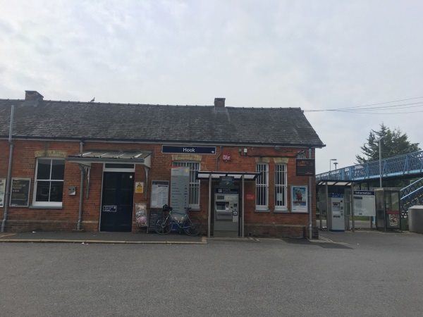
Photo: Martin W
Hook station
| Postcode | RG27 9HS |
|---|
Transport
| Nearby stations | |
|---|---|
| Bus stops |
Rail Station (S)
Berry Court (N)
Berry Court (S)
Old White Hart (SW)
New White Hart (SW)
Old White Hart (NE)
|
| Station code (TLC) | HOK |
| Station code (NLC) | 5523 |
| Owner | South Western Railway |
| National Rail Enquiries | |
Live Departures
Live Arrivals
Usage
Entries and exits
Interchanges
| Year | Entries and exits | Annual change % | Interchanges | Annual change % |
|---|---|---|---|---|
| 2023 | 396,226 | 24.7 % | ||
| 2022 | 317,790 | 112.5 % | ||
| 2021 | 149,570 | -76.4 % | ||
| 2020 | 634,164 | -12.8 % | ||
| 2019 | 727,634 | -1.5 % | ||
| 2018 | 738,568 | -3.5 % | ||
| 2017 | 765,438 | -7.0 % | ||
| 2016 | 823,478 | 1.7 % | ||
| 2015 | 809,570 | 7.2 % | ||
| 2014 | 755,354 | 6.7 % | ||
| 2013 | 707,890 | -1.9 % | ||
| 2012 | 721,348 | 6.2 % | ||
| 2011 | 679,330 | 5.2 % | ||
| 2010 | 645,810 | -0.7 % | ||
| 2009 | 650,240 | 5.4 % | ||
| 2008 | 616,947 | 4.1 % | ||
| 2007 | 592,594 | 14.6 % | ||
| 2006 | 516,885 | 1.3 % | ||
| 2005 | 510,242 |
Note: Data is for financial years, so 2020 is April 2019 to March 2020
Geography
| Latitude | 51.279998 | |
|---|---|---|
| Longitude | -0.961636 | |
| Easting | 472520 | |
| Northing | 153940 | |
| Grid reference | SU725539 | |
| UTM reference | 30U 642162 5682935 | |
| what3words | ||
| Plus code | ||
| Distance away |
Postcodes
This map shows the postcodes where this station is the nearest to the postcode (as the crow flies)