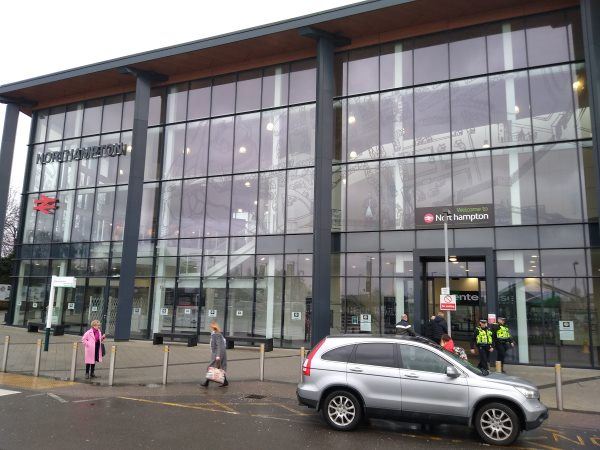
Map of Northampton station

Northampton station
| Postcode | NN1 1SP |
|---|
Transport
| Nearby stations | |
|---|---|
| Bus stops |
Rail Station approach road (W)
Spring Lane (S)
Byfield Road (SE)
Sol Central (E)
Millers Meadow (W)
Byfield Road (NW)
|
| Station code (TLC) | NMP |
| Station code (NLC) | 1069 |
| Owner | West Midlands Trains (London Northwestern Railway) |
| National Rail Enquiries | |
Live Departures
Live Arrivals
Usage
Entries and exits
Interchanges
| Year | Entries and exits | Annual change % | Interchanges | Annual change % |
|---|---|---|---|---|
| 2023 | 2,407,228 | 28.8 % | 946 | -43.3 % |
| 2022 | 1,868,756 | 184.4 % | 1,667 | 220.0 % |
| 2021 | 657,004 | -79.6 % | 521 | -83.3 % |
| 2020 | 3,215,898 | -3.5 % | 3,111 | -17.8 % |
| 2019 | 3,331,206 | 4.9 % | 3,786 | 3.4 % |
| 2018 | 3,174,680 | 0.9 % | 3,663 | 3.3 % |
| 2017 | 3,147,010 | 3.7 % | 3,545 | -0.7 % |
| 2016 | 3,035,242 | 5.9 % | 3,570 | 2.4 % |
| 2015 | 2,864,848 | 2.9 % | 3,485 | -4.4 % |
| 2014 | 2,783,020 | 0.1 % | 3,645 | -14.3 % |
| 2013 | 2,779,960 | 2.4 % | 4,255 | -27.8 % |
| 2012 | 2,713,668 | 8.7 % | 5,891 | -68.2 % |
| 2011 | 2,496,018 | 13.0 % | 18,514 | 37.6 % |
| 2010 | 2,208,500 | -1.1 % | 13,454 | 1.0 % |
| 2009 | 2,233,872 | -0.2 % | 13,327 | -48.4 % |
| 2008 | 2,239,426 | 4.4 % | 25,837 | -34.1 % |
| 2007 | 2,144,857 | 8.9 % | 39,212 | 17.2 % |
| 2006 | 1,969,868 | 6.2 % | 33,446 | -35.1 % |
| 2005 | 1,854,579 | 51,499 |
Note: Data is for financial years, so 2020 is April 2019 to March 2020
Geography
| Latitude | 52.2375 | |
|---|---|---|
| Longitude | -0.906653 | |
| Easting | 474759 | |
| Northing | 260486 | |
| Grid reference | SP747604 | |
| UTM reference | 30U 642939 5789518 | |
| what3words | ||
| Plus code | ||
| Distance away |
Postcodes
This map shows the postcodes where this station is the nearest to the postcode (as the crow flies)