Map of Radley station
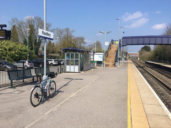
Photo: Martin W
Radley station
| Postcode | OX14 3AB |
|---|
Transport
| Nearby stations | |
|---|---|
| Bus stops |
Railway Station (N)
Church Road (NW)
Church Road (SE)
Stonhouse Crescent (W)
Stonhouse Crescent (E)
St James Church (E)
|
| Station code (TLC) | RAD |
| Station code (NLC) | 3118 |
| Owner | Great Western Railway |
| National Rail Enquiries | |
Live Departures
Live Arrivals
Usage
Entries and exits
Interchanges
| Year | Entries and exits | Annual change % | Interchanges | Annual change % |
|---|---|---|---|---|
| 2023 | 102,132 | 45.9 % | ||
| 2022 | 69,982 | 236.0 % | ||
| 2021 | 20,830 | -84.7 % | ||
| 2020 | 135,780 | 4.5 % | ||
| 2019 | 129,982 | -8.3 % | ||
| 2018 | 141,792 | -2.4 % | ||
| 2017 | 145,348 | -0.4 % | ||
| 2016 | 145,904 | 5.0 % | ||
| 2015 | 138,896 | 16.8 % | ||
| 2014 | 118,868 | 3.6 % | ||
| 2013 | 114,766 | 16.1 % | ||
| 2012 | 98,856 | 16.6 % | ||
| 2011 | 84,804 | 13.3 % | ||
| 2010 | 74,820 | 0.4 % | ||
| 2009 | 74,514 | 12.9 % | ||
| 2008 | 66,018 | 16.1 % | ||
| 2007 | 56,860 | -1.4 % | ||
| 2006 | 57,651 | 6.5 % | ||
| 2005 | 54,153 |
Note: Data is for financial years, so 2020 is April 2019 to March 2020
Geography
| Latitude | 51.686206 | |
|---|---|---|
| Longitude | -1.240482 | |
| Easting | 452603 | |
| Northing | 198878 | |
| Grid reference | SU526988 | |
| UTM reference | 30U 621630 5727603 | |
| what3words | ||
| Plus code | ||
| Distance away |
Postcodes
This map shows the postcodes where this station is the nearest to the postcode (as the crow flies)