Map of Reading station, London
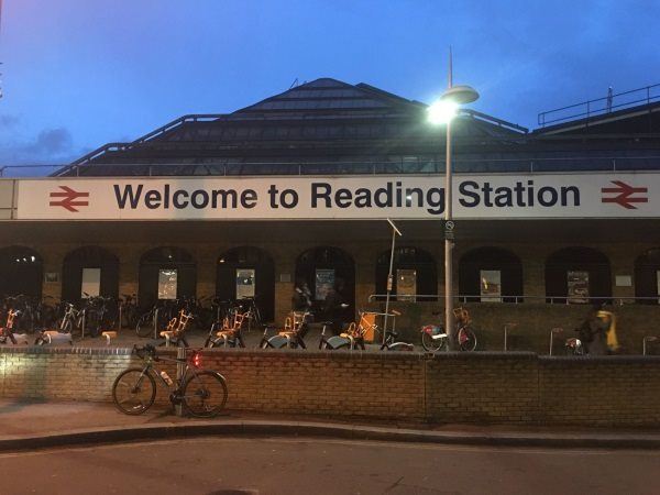
Photo: Martin W
Reading station
| Postcode | RG1 1LZ |
|---|
Transport
| Travel zone | Outside zone 6 |
|---|---|
| Tube/Rail lines | |
| Next stations | |
| Nearby stations | |
| Bus stops |
Blagrave Street (E)
Reading RailAir (E)
Blagrave Street (W)
Station Road (N)
Station North Interchange (S)
Station North Interchange (NE)
|
| Station code (TLC) | RDG |
| Station code (NLC) | 3149 |
| Owner | Network Rail |
| National Rail Enquiries | |
Live Departures
Live Arrivals
Usage
Entries and exits
Interchanges
| Year | Entries and exits | Annual change % | Interchanges | Annual change % |
|---|---|---|---|---|
| 2023 | 12,400,988 | 40.6 % | 3,730,402 | 68.4 % |
| 2022 | 8,818,068 | 197.6 % | 2,215,513 | 225.9 % |
| 2021 | 2,963,110 | -82.3 % | 679,794 | -84.4 % |
| 2020 | 16,753,368 | -1.9 % | 4,351,999 | 5.0 % |
| 2019 | 17,080,738 | 0.6 % | 4,142,855 | -0.9 % |
| 2018 | 16,979,808 | -0.8 % | 4,179,062 | 1.7 % |
| 2017 | 17,122,000 | 2.2 % | 4,108,908 | 3.5 % |
| 2016 | 16,755,984 | 2.5 % | 3,970,335 | 1.2 % |
| 2015 | 16,339,602 | 4.3 % | 3,924,743 | 2.5 % |
| 2014 | 15,673,400 | 1.7 % | 3,828,202 | -0.1 % |
| 2013 | 15,412,998 | 0.9 % | 3,831,718 | 1.0 % |
| 2012 | 15,276,176 | 6.1 % | 3,793,740 | 30.9 % |
| 2011 | 14,400,405 | 3.9 % | 2,898,671 | 10.7 % |
| 2010 | 13,866,258 | -3.6 % | 2,617,998 | -2.6 % |
| 2009 | 14,384,236 | -1.1 % | 2,688,530 | 7.7 % |
| 2008 | 14,549,487 | 1.3 % | 2,496,398 | -7.1 % |
| 2007 | 14,367,752 | 5.9 % | 2,688,110 | 9.6 % |
| 2006 | 13,570,560 | 2.1 % | 2,453,380 | 8.2 % |
| 2005 | 13,297,027 | 2,267,360 |
Note: Data is for financial years, so 2020 is April 2019 to March 2020
Geography
| Latitude | 51.458786 | |
|---|---|---|
| Longitude | -0.971863 | |
| Easting | 471527 | |
| Northing | 173813 | |
| Grid reference | SU715738 | |
| UTM reference | 30U 640898 5702796 | |
| what3words | ||
| Plus code | ||
| Distance away |
Postcodes
This map shows the postcodes where this station is the nearest to the postcode (as the crow flies)