Map of Ashtead station
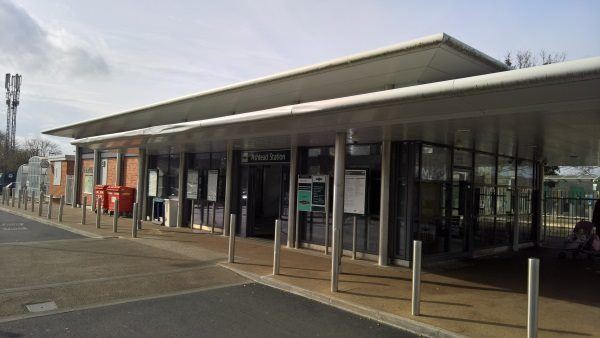
Ashtead station
| Postcode | KT21 2DR |
|---|
Transport
| Nearby stations | |
|---|---|
| Bus stops |
Pond (SW)
The Woodman (SW)
The Woodman (NE)
Woodfield Lane (NW)
Woodfield Lane (SE)
Agates Lane (NE)
|
| Station code (TLC) | AHD |
| Station code (NLC) | 5347 |
| Owner | Govia Thameslink Railway (Southern) |
| National Rail Enquiries | |
Live Departures
Live Arrivals
Usage
Entries and exits
Interchanges
| Year | Entries and exits | Annual change % | Interchanges | Annual change % |
|---|---|---|---|---|
| 2023 | 847,384 | 21.6 % | ||
| 2022 | 696,822 | 166.6 % | ||
| 2021 | 261,410 | -79.5 % | ||
| 2020 | 1,272,990 | -2.7 % | ||
| 2019 | 1,308,084 | 3.4 % | ||
| 2018 | 1,264,880 | -4.0 % | ||
| 2017 | 1,317,284 | -0.9 % | ||
| 2016 | 1,329,660 | 2.6 % | ||
| 2015 | 1,296,434 | 3.7 % | ||
| 2014 | 1,249,748 | 3.6 % | ||
| 2013 | 1,205,956 | 2.5 % | ||
| 2012 | 1,176,560 | 7.4 % | ||
| 2011 | 1,095,148 | 3.7 % | ||
| 2010 | 1,056,286 | 0.8 % | ||
| 2009 | 1,048,224 | 1.2 % | ||
| 2008 | 1,035,665 | 11.9 % | ||
| 2007 | 925,232 | 5.8 % | ||
| 2006 | 874,137 | 5.3 % | ||
| 2005 | 830,308 |
Note: Data is for financial years, so 2020 is April 2019 to March 2020
Geography
| Latitude | 51.317873 | |
|---|---|---|
| Longitude | -0.307572 | |
| Easting | 518040 | |
| Northing | 159000 | |
| Grid reference | TQ180590 | |
| UTM reference | 30U 687617 5688616 | |
| what3words | ||
| Plus code | ||
| Distance away |
Postcodes
This map shows the postcodes where this station is the nearest to the postcode (as the crow flies)