Map of Datchet station
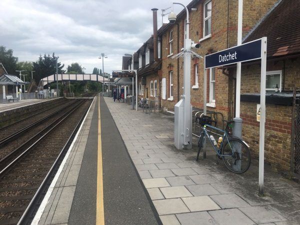
Photo: Martin W
Datchet station
| Postcode | SL3 9ED |
|---|
Transport
| Nearby stations | |
|---|---|
| Bus stops |
The Green (W)
Primary School (W)
Primary School (E)
Churchmead School (N)
Churchmead School (E)
Churchmead School (S)
|
| Station code (TLC) | DAT |
| Station code (NLC) | 5668 |
| Owner | South Western Railway |
| National Rail Enquiries | |
Live Departures
Live Arrivals
Usage
Entries and exits
Interchanges
| Year | Entries and exits | Annual change % | Interchanges | Annual change % |
|---|---|---|---|---|
| 2023 | 217,814 | 25.3 % | ||
| 2022 | 173,840 | 177.5 % | ||
| 2021 | 62,642 | -79.6 % | ||
| 2020 | 306,836 | -9.9 % | ||
| 2019 | 340,704 | 2.1 % | ||
| 2018 | 333,790 | -4.9 % | ||
| 2017 | 351,092 | -1.4 % | ||
| 2016 | 356,114 | 1.2 % | ||
| 2015 | 351,798 | 8.9 % | ||
| 2014 | 323,040 | -3.4 % | ||
| 2013 | 334,320 | 3.2 % | ||
| 2012 | 324,084 | -0.5 % | ||
| 2011 | 325,720 | 4.6 % | ||
| 2010 | 311,462 | -3.1 % | ||
| 2009 | 321,436 | 0.5 % | ||
| 2008 | 319,733 | 21.6 % | ||
| 2007 | 263,030 | 3.3 % | ||
| 2006 | 254,661 | 0.6 % | ||
| 2005 | 253,156 |
Note: Data is for financial years, so 2020 is April 2019 to March 2020
Geography
| Latitude | 51.483076 | |
|---|---|---|
| Longitude | -0.579422 | |
| Easting | 498740 | |
| Northing | 176970 | |
| Grid reference | SU987769 | |
| UTM reference | 30U 668069 5706325 | |
| what3words | ||
| Plus code | ||
| Distance away |
Postcodes
This map shows the postcodes where this station is the nearest to the postcode (as the crow flies)