Map of Henley-On-Thames station
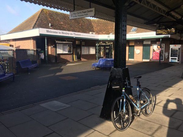
Photo: Martin W
Henley-On-Thames station
| Postcode | RG9 1AY |
|---|
Transport
| Nearby stations | |
|---|---|
| Bus stops |
St Marks Road (SE)
St Marks Road (NW)
Christ Church (NW)
Harpsden Way ()
Two Brewers (N)
Two Brewers (S)
|
| Station code (TLC) | HOT |
| Station code (NLC) | 3146 |
| Owner | Great Western Railway |
| National Rail Enquiries | |
Live Departures
Live Arrivals
Usage
Entries and exits
Interchanges
| Year | Entries and exits | Annual change % | Interchanges | Annual change % |
|---|---|---|---|---|
| 2023 | 606,832 | 43.6 % | ||
| 2022 | 422,480 | 169.8 % | ||
| 2021 | 156,610 | -78.9 % | ||
| 2020 | 742,292 | -3.7 % | ||
| 2019 | 770,904 | 3.4 % | ||
| 2018 | 745,422 | -6.4 % | ||
| 2017 | 795,990 | 2.5 % | ||
| 2016 | 776,282 | 0.6 % | ||
| 2015 | 771,406 | -0.1 % | ||
| 2014 | 771,838 | 6.0 % | ||
| 2013 | 727,994 | 5.0 % | ||
| 2012 | 693,250 | 3.7 % | ||
| 2011 | 668,264 | 9.7 % | ||
| 2010 | 609,410 | 2.3 % | ||
| 2009 | 595,934 | 0.5 % | ||
| 2008 | 592,858 | 7.4 % | ||
| 2007 | 551,770 | 2.0 % | ||
| 2006 | 540,783 | -0.2 % | ||
| 2005 | 541,712 |
Note: Data is for financial years, so 2020 is April 2019 to March 2020
Geography
| Latitude | 51.53418 | |
|---|---|---|
| Longitude | -0.900212 | |
| Easting | 476380 | |
| Northing | 182270 | |
| Grid reference | SU763822 | |
| UTM reference | 30U 645635 5711320 | |
| what3words | ||
| Plus code | ||
| Distance away |
Postcodes
This map shows the postcodes where this station is the nearest to the postcode (as the crow flies)