Map of Theale station
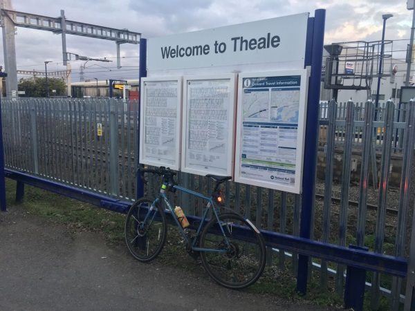
Theale station
| Postcode | RG7 4AA |
|---|
Transport
| Nearby stations | |
|---|---|
| Bus stops |
The Crown (W)
The Crown (E)
Brewery Court (E)
Brewery Court (W)
Theale flexi area ()
Play Platt (SE)
|
| Station code (TLC) | THE |
| Station code (NLC) | 3153 |
| Owner | Great Western Railway |
| National Rail Enquiries | |
Live Departures
Live Arrivals
Usage
Entries and exits
Interchanges
| Year | Entries and exits | Annual change % | Interchanges | Annual change % |
|---|---|---|---|---|
| 2023 | 282,980 | 32.4 % | ||
| 2022 | 213,782 | 192.1 % | ||
| 2021 | 73,190 | -84.6 % | ||
| 2020 | 476,266 | -1.6 % | ||
| 2019 | 483,904 | 0.3 % | ||
| 2018 | 482,304 | -2.4 % | ||
| 2017 | 494,056 | 1.3 % | ||
| 2016 | 487,678 | 2.5 % | ||
| 2015 | 475,938 | 2.0 % | ||
| 2014 | 466,728 | -1.2 % | ||
| 2013 | 472,426 | 6.2 % | ||
| 2012 | 444,800 | 0.0 % | ||
| 2011 | 444,676 | 3.1 % | ||
| 2010 | 431,372 | -8.4 % | ||
| 2009 | 470,740 | -2.9 % | ||
| 2008 | 484,560 | -1.9 % | ||
| 2007 | 493,831 | 11.4 % | ||
| 2006 | 443,201 | 3.7 % | ||
| 2005 | 427,352 |
Note: Data is for financial years, so 2020 is April 2019 to March 2020
Geography
| Latitude | 51.433452 | |
|---|---|---|
| Longitude | -1.074973 | |
| Easting | 464400 | |
| Northing | 170900 | |
| Grid reference | SU643709 | |
| UTM reference | 30U 633810 5699786 | |
| what3words | ||
| Plus code | ||
| Distance away |
Postcodes
This map shows the postcodes where this station is the nearest to the postcode (as the crow flies)