Map of Syon Lane station, London
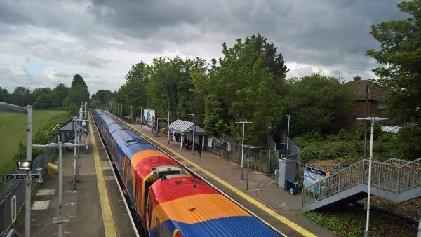
Syon Lane station
| Postcode | TW7 5NT |
|---|
Transport
| Travel zone | 4 |
|---|---|
| Tube/Rail lines | |
| Next stations | |
| Nearby stations | |
| Bus stops |
Syon Lane Station (S)
Gillette Corner (W)
West Cross Centre (E)
Marlborough Road (TW7) (SE)
The Green School (W)
Busch Corner (W)
|
| Station code (TLC) | SYL |
| Station code (NLC) | 5609 |
| Owner | South Western Railway |
| National Rail Enquiries | |
Live Departures
Live Arrivals
Usage
Entries and exits
Interchanges
| Year | Entries and exits | Annual change % | Interchanges | Annual change % |
|---|---|---|---|---|
| 2024 | 806,180 | 20.7 % | ||
| 2023 | 667,806 | 27.7 % | ||
| 2022 | 522,764 | 133.7 % | ||
| 2021 | 223,658 | -81.9 % | ||
| 2020 | 1,237,500 | -5.3 % | ||
| 2019 | 1,306,980 | 0.9 % | ||
| 2018 | 1,294,856 | -10.0 % | ||
| 2017 | 1,439,516 | -2.4 % | ||
| 2016 | 1,474,888 | 27.5 % | ||
| 2015 | 1,157,126 | 11.1 % | ||
| 2014 | 1,041,984 | 6.9 % | ||
| 2013 | 974,632 | 7.7 % | ||
| 2012 | 905,236 | 10.5 % | ||
| 2011 | 818,954 | 15.1 % | ||
| 2010 | 711,426 | 5.2 % | ||
| 2009 | 676,250 | -5.6 % | ||
| 2008 | 716,427 | 20.9 % | ||
| 2007 | 592,681 | 125.3 % | ||
| 2006 | 263,012 | 11.7 % | ||
| 2005 | 235,479 |
Note: Data is for financial years, so 2020 is April 2019 to March 2020
Geography
| Latitude | 51.481784 | |
|---|---|---|
| Longitude | -0.324842 | |
| Easting | 516306 | |
| Northing | 177163 | |
| Grid reference | TQ163771 | |
| UTM reference | 30U 685748 5706797 | |
| what3words | ||
| Plus code | ||
| Distance away |
Postcodes
This map shows the postcodes where this station is the nearest to the postcode (as the crow flies)