Map of Dundonald Road station, London
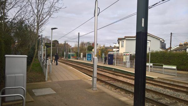
Dundonald Road station
| Postcode | SW19 3QJ |
|---|
Transport
| Travel zone | 3,4,5,6 |
|---|---|
| Tube/Rail lines | |
| Next stations | |
| Nearby stations | |
| Bus stops |
Sir Cyril Black Way (N)
Wimbledon (W)
Francis Grove (W)
Bertram Cottages (N)
Wimbledon (E)
Wimbledon Bus Station (SW)
|
Geography
| Latitude | 51.417398 | |
|---|---|---|
| Longitude | -0.207527 | |
| Easting | 524741 | |
| Northing | 170233 | |
| Grid reference | TQ247702 | |
| UTM reference | 30U 694166 5699942 | |
| what3words | ||
| Plus code | ||
| Distance away |
Postcodes
This map shows the postcodes where this station is the nearest to the postcode (as the crow flies)