Map of Wimbledon station, London
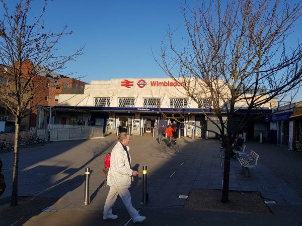
Wimbledon station
| Postcode | SW19 1PS |
|---|
Transport
| Travel zone | 3 |
|---|---|
| Tube/Rail lines | |
| Next stations | |
| Nearby stations | |
| Bus stops |
Alexandra Rd Wimbledon Stn (S)
Alexandra Rd Wimbledon Stn (N)
Wimbledon (N)
Wimbledon (E)
Wimbledon Police Station (N)
Sir Cyril Black Way (N)
|
| Station code (TLC) | WIM |
| Station code (NLC) | 5578 |
| Owner | South Western Railway |
| National Rail Enquiries | |
Live Departures
Live Arrivals
Usage
Entries and exits
Interchanges
| Year | Entries and exits | Annual change % | Interchanges | Annual change % |
|---|---|---|---|---|
| 2023 | 11,693,876 | 17.5 % | 1,153,942 | 77.1 % |
| 2022 | 9,952,034 | 124.5 % | 651,738 | 115.2 % |
| 2021 | 4,433,406 | -74.3 % | 302,851 | -71.9 % |
| 2020 | 17,281,626 | -6.6 % | 1,076,096 | -4.9 % |
| 2019 | 18,497,284 | -0.1 % | 1,131,377 | -1.7 % |
| 2018 | 18,509,068 | -8.1 % | 1,150,779 | -4.6 % |
| 2017 | 20,149,550 | -1.4 % | 1,205,728 | -9.8 % |
| 2016 | 20,439,088 | 4.7 % | 1,335,996 | -4.9 % |
| 2015 | 19,526,884 | 1.2 % | 1,404,763 | 5.7 % |
| 2014 | 19,302,216 | 2.1 % | 1,329,275 | -3.2 % |
| 2013 | 18,902,016 | 3.6 % | 1,373,694 | -13.6 % |
| 2012 | 18,245,850 | 12.5 % | 1,590,568 | 7.8 % |
| 2011 | 16,218,464 | 11.5 % | 1,475,037 | 29.6 % |
| 2010 | 14,539,490 | -4.2 % | 1,138,544 | -14.6 % |
| 2009 | 15,171,750 | -12.1 % | 1,333,795 | 9.7 % |
| 2008 | 17,269,230 | 8.4 % | 1,216,333 | 89.6 % |
| 2007 | 15,935,081 | 35.0 % | 641,422 | 33.6 % |
| 2006 | 11,800,551 | -2.4 % | 480,149 | 7.7 % |
| 2005 | 12,092,440 | 445,721 |
Note: Data is for financial years, so 2020 is April 2019 to March 2020
Geography
| Latitude | 51.421274 | |
|---|---|---|
| Longitude | -0.206383 | |
| Easting | 524791 | |
| Northing | 170647 | |
| Grid reference | TQ247706 | |
| UTM reference | 30U 694229 5700376 | |
| what3words | ||
| Plus code | ||
| Distance away |
Postcodes
This map shows the postcodes where this station is the nearest to the postcode (as the crow flies)