Map of Acton Main Line station, London
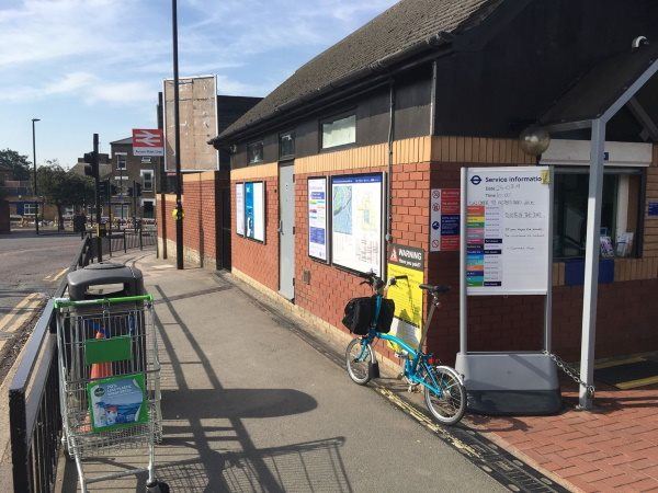
Photo: Martin W
Acton Main Line station
| Postcode | W3 9EH |
|---|
Transport
| Travel zone | 3 |
|---|---|
| Tube/Rail lines | |
| Next stations | |
| Nearby stations | |
| Bus stops |
Acton Main Line (S)
Joseph Avenue (W)
Noel Road (N)
St Gabriel's Church North Acton (W)
St Gabriel's Church North Acton (E)
Faraday Road (N)
|
| Station code (TLC) | AML |
| Station code (NLC) | 3000 |
| Owner | TfL Rail |
| National Rail Enquiries | |
Live Departures
Live Arrivals
Usage
Entries and exits
Interchanges
| Year | Entries and exits | Annual change % | Interchanges | Annual change % |
|---|---|---|---|---|
| 2024 | 2,234,516 | 103.2 % | ||
| 2023 | 1,099,704 | 242.5 % | ||
| 2022 | 321,076 | 154.9 % | ||
| 2021 | 125,954 | -64.1 % | ||
| 2020 | 350,930 | 12.9 % | ||
| 2019 | 310,962 | 18.0 % | ||
| 2018 | 263,590 | 10.5 % | ||
| 2017 | 238,536 | -9.0 % | ||
| 2016 | 262,212 | -42.3 % | ||
| 2015 | 454,106 | 2.7 % | ||
| 2014 | 442,054 | 15.1 % | ||
| 2013 | 383,980 | 9.8 % | ||
| 2012 | 349,636 | 0.8 % | ||
| 2011 | 346,756 | 31.3 % | ||
| 2010 | 264,122 | -21.4 % | ||
| 2009 | 336,108 | -14.6 % | ||
| 2008 | 393,785 | 27.3 % | ||
| 2007 | 309,456 | 252.1 % | ||
| 2006 | 87,880 | -23.7 % | ||
| 2005 | 115,209 |
Note: Data is for financial years, so 2020 is April 2019 to March 2020
Geography
| Latitude | 51.517179 | |
|---|---|---|
| Longitude | -0.266756 | |
| Easting | 520296 | |
| Northing | 181196 | |
| Grid reference | TQ202811 | |
| UTM reference | 30U 689634 5710881 | |
| what3words | ||
| Plus code | ||
| Distance away |
Postcodes
This map shows the postcodes where this station is the nearest to the postcode (as the crow flies)