Map of Aldershot station
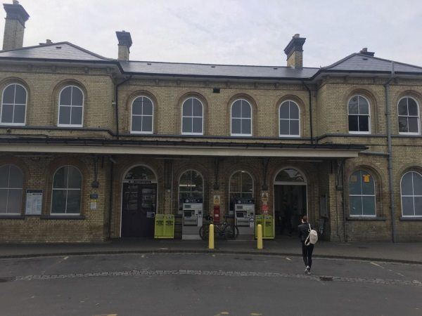
Photo: Martin W
Aldershot station
| Postcode | GU11 1HN |
|---|
Transport
| Nearby stations | |
|---|---|
| Bus stops |
Bus Station ()
Bus Station ()
Bus Station ()
Bus Station ()
Bus Station ()
Bus Station ()
|
| Station code (TLC) | AHT |
| Station code (NLC) | 5623 |
| Owner | South Western Railway |
| National Rail Enquiries | |
Live Departures
Live Arrivals
Usage
Entries and exits
Interchanges
| Year | Entries and exits | Annual change % | Interchanges | Annual change % |
|---|---|---|---|---|
| 2025 | 1,371,112 | 11.6 % | 105,047 | 14.3 % |
| 2024 | 1,229,064 | 12.4 % | 91,915 | 15.5 % |
| 2023 | 1,093,476 | 23.1 % | 79,583 | 29.9 % |
| 2022 | 888,372 | 143.5 % | 61,281 | 205.9 % |
| 2021 | 364,844 | -71.6 % | 20,033 | -76.5 % |
| 2020 | 1,283,830 | -6.1 % | 85,132 | -30.0 % |
| 2019 | 1,367,252 | -2.0 % | 121,639 | -7.0 % |
| 2018 | 1,394,786 | -3.0 % | 130,813 | -5.8 % |
| 2017 | 1,437,614 | -1.9 % | 138,886 | -0.3 % |
| 2016 | 1,465,212 | 2.2 % | 139,314 | -0.8 % |
| 2015 | 1,434,250 | 2.4 % | 140,504 | -1.1 % |
| 2014 | 1,401,204 | -3.2 % | 141,995 | -4.7 % |
| 2013 | 1,448,130 | -1.6 % | 149,073 | 0.8 % |
| 2012 | 1,471,148 | -1.4 % | 147,896 | -4.3 % |
| 2011 | 1,492,704 | 6.1 % | 154,496 | -13.6 % |
| 2010 | 1,406,724 | -2.4 % | 178,810 | 5.5 % |
| 2009 | 1,441,470 | 1.8 % | 169,470 | 3.9 % |
| 2008 | 1,415,479 | 10.8 % | 163,047 | 38.9 % |
| 2007 | 1,277,324 | 6.8 % | 117,398 | 10.3 % |
| 2006 | 1,196,067 | 6.6 % | 106,477 | 16.1 % |
| 2005 | 1,121,499 | 91,746 |
Note: Data is for financial years, so 2020 is April 2019 to March 2020
Geography
| Latitude | 51.246418 | |
|---|---|---|
| Longitude | -0.75986 | |
| Easting | 486656 | |
| Northing | 150424 | |
| Grid reference | SU866504 | |
| UTM reference | 30U 656347 5679612 | |
| what3words | ||
| Plus code | ||
| Distance away |
Postcodes
This map shows the postcodes where this station is the nearest to the postcode (as the crow flies)