Map of Ash Vale station
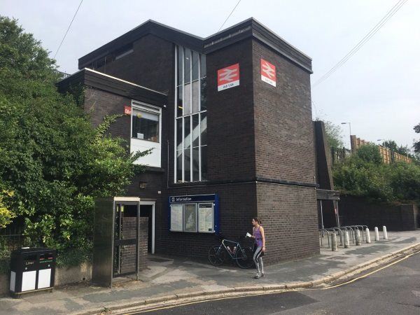
Photo: Martin W
Ash Vale station
| Postcode | GU12 5LP |
|---|
Transport
| Nearby stations | |
|---|---|
| Bus stops |
Ash Vale Railway Station (N)
Carrington Lane (S)
Carrington Lane (N)
Heathvale Bridge Road (N)
Heathvale Bridge Road (S)
|
| Station code (TLC) | AHV |
| Station code (NLC) | 5547 |
| Owner | South Western Railway |
| National Rail Enquiries | |
Live Departures
Live Arrivals
Usage
Entries and exits
Interchanges
| Year | Entries and exits | Annual change % | Interchanges | Annual change % |
|---|---|---|---|---|
| 2024 | 328,490 | 8.4 % | 91,576 | 33.4 % |
| 2023 | 303,058 | 33.5 % | 68,635 | 55.6 % |
| 2022 | 227,016 | 156.8 % | 44,113 | 187.5 % |
| 2021 | 88,390 | -79.0 % | 15,343 | -81.2 % |
| 2020 | 421,022 | -8.3 % | 81,604 | -29.0 % |
| 2019 | 459,054 | -1.7 % | 114,856 | 0.5 % |
| 2018 | 466,782 | -2.9 % | 114,263 | -6.6 % |
| 2017 | 480,854 | -1.6 % | 122,402 | -6.0 % |
| 2016 | 488,636 | 3.0 % | 130,150 | -4.5 % |
| 2015 | 474,462 | 4.3 % | 136,286 | 0.7 % |
| 2014 | 454,772 | 0.4 % | 135,337 | -4.1 % |
| 2013 | 452,824 | 0.1 % | 141,065 | 1.0 % |
| 2012 | 452,308 | 3.4 % | 139,727 | 2.3 % |
| 2011 | 437,436 | -0.1 % | 136,615 | 2.0 % |
| 2010 | 437,858 | -8.1 % | 133,963 | -6.2 % |
| 2009 | 476,558 | 1.0 % | 142,833 | 9.3 % |
| 2008 | 471,787 | 15.9 % | 130,685 | 15.8 % |
| 2007 | 407,035 | 2.2 % | 112,840 | 3.0 % |
| 2006 | 398,287 | 0.8 % | 109,546 | -4.4 % |
| 2005 | 395,265 | 114,642 |
Note: Data is for financial years, so 2020 is April 2019 to March 2020
Geography
| Latitude | 51.272246 | |
|---|---|---|
| Longitude | -0.721649 | |
| Easting | 489273 | |
| Northing | 153342 | |
| Grid reference | SU892533 | |
| UTM reference | 30U 658924 5682566 | |
| what3words | ||
| Plus code | ||
| Distance away |
Postcodes
This map shows the postcodes where this station is the nearest to the postcode (as the crow flies)