Map of Battersea Power Station station, London
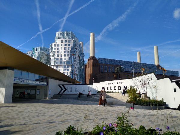
Battersea Power Station station
| Postcode | SW11 8AL |
|---|
Transport
| Travel zone | 1 |
|---|---|
| Tube/Rail lines | |
| Next stations | |
| Nearby stations | |
| Bus stops |
Battersea Power Station Underground Station (SW)
Ascalon Street (SW)
Battersea Dogs And Cats Home (S)
Patmore Estate Drury House (SE)
Battersea Dogs And Cats Home (NE)
Battersea Park Station (W)
|
Geography
| Latitude | 51.479496 | |
|---|---|---|
| Longitude | -0.142001 | |
| Easting | 529122 | |
| Northing | 177252 | |
| Grid reference | TQ291772 | |
| UTM reference | 30U 698452 5707022 | |
| what3words | ||
| Plus code | ||
| Distance away |
Postcodes
This map shows the postcodes where this station is the nearest to the postcode (as the crow flies)