Map of Belmont station, London
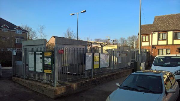
Belmont station
| Postcode | SM2 6BH |
|---|
Transport
| Travel zone | 5 |
|---|---|
| Tube/Rail lines | |
| Next stations | |
| Nearby stations | |
| Bus stops |
Belmont Stn Brighton Road (S)
Belmont Stn Brighton Road (N)
Belmont (E)
Belmont Station Road (E)
Belmont Station Road (W)
Station Road Avenue Road (S)
|
| Station code (TLC) | BLM |
| Station code (NLC) | 5350 |
| Owner | Govia Thameslink Railway (Southern) |
| National Rail Enquiries | |
Live Departures
Live Arrivals
Usage
Entries and exits
Interchanges
| Year | Entries and exits | Annual change % | Interchanges | Annual change % |
|---|---|---|---|---|
| 2025 | 200,356 | 12.4 % | ||
| 2024 | 178,278 | 23.3 % | ||
| 2023 | 144,536 | 33.5 % | ||
| 2022 | 108,296 | 88.8 % | ||
| 2021 | 57,358 | -68.2 % | ||
| 2020 | 180,466 | 14.7 % | ||
| 2019 | 157,348 | 23.2 % | ||
| 2018 | 127,714 | -6.6 % | ||
| 2017 | 136,770 | -13.8 % | ||
| 2016 | 158,708 | 4.8 % | ||
| 2015 | 151,502 | 1.5 % | ||
| 2014 | 149,294 | -0.8 % | ||
| 2013 | 150,572 | 2.0 % | ||
| 2012 | 147,672 | 5.7 % | ||
| 2011 | 139,754 | 5.5 % | ||
| 2010 | 132,436 | 7.2 % | ||
| 2009 | 123,580 | -3.1 % | ||
| 2008 | 127,588 | 11.3 % | ||
| 2007 | 114,588 | 98.6 % | ||
| 2006 | 57,688 | 13.7 % | ||
| 2005 | 50,732 |
Note: Data is for financial years, so 2020 is April 2019 to March 2020
Geography
| Latitude | 51.343813 | |
|---|---|---|
| Longitude | -0.198855 | |
| Easting | 525500 | |
| Northing | 162098 | |
| Grid reference | TQ255620 | |
| UTM reference | 30U 695081 5691784 | |
| what3words | ||
| Plus code | ||
| Distance away |
Postcodes
This map shows the postcodes where this station is the nearest to the postcode (as the crow flies)