Map of Bracknell station
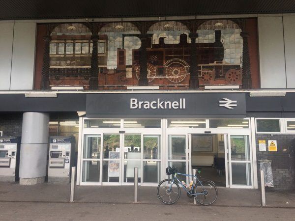
Photo: Martin W
Bracknell station
| Postcode | RG12 1HX |
|---|
Transport
| Nearby stations | |
|---|---|
| Bus stops |
Bracknell Bus Station ()
Bracknell Bus Station ()
Bracknell Bus Station ()
Bracknell Bus Station ()
Bracknell Rail Station (W)
Bracknell Bus Station ()
|
| Station code (TLC) | BCE |
| Station code (NLC) | 5693 |
| Owner | South Western Railway |
| National Rail Enquiries | |
Live Departures
Live Arrivals
Usage
Entries and exits
Interchanges
| Year | Entries and exits | Annual change % | Interchanges | Annual change % |
|---|---|---|---|---|
| 2025 | 1,775,202 | 10.8 % | 19,538 | 54.1 % |
| 2024 | 1,602,212 | 7.5 % | 12,681 | 9506.8 % |
| 2023 | 1,490,668 | 25.2 % | 132 | |
| 2022 | 1,190,856 | 153.6 % | ||
| 2021 | 469,584 | -78.5 % | ||
| 2020 | 2,179,272 | -6.4 % | -100.0 % | |
| 2019 | 2,328,350 | 0.7 % | 21 | -4.5 % |
| 2018 | 2,311,474 | -1.8 % | 22 | -33.3 % |
| 2017 | 2,354,570 | -1.3 % | 33 | |
| 2016 | 2,386,098 | 3.1 % | ||
| 2015 | 2,315,218 | 4.9 % | ||
| 2014 | 2,207,932 | 7.7 % | ||
| 2013 | 2,050,564 | 2.6 % | ||
| 2012 | 1,999,450 | 1.1 % | ||
| 2011 | 1,976,868 | 6.8 % | ||
| 2010 | 1,850,372 | -6.2 % | ||
| 2009 | 1,971,718 | -0.4 % | -100.0 % | |
| 2008 | 1,978,831 | 7.7 % | 1 | |
| 2007 | 1,837,642 | 5.9 % | ||
| 2006 | 1,735,335 | 3.0 % | ||
| 2005 | 1,684,705 |
Note: Data is for financial years, so 2020 is April 2019 to March 2020
Geography
| Latitude | 51.413091 | |
|---|---|---|
| Longitude | -0.751704 | |
| Easting | 486910 | |
| Northing | 168969 | |
| Grid reference | SU869689 | |
| UTM reference | 30U 656348 5698162 | |
| what3words | ||
| Plus code | ||
| Distance away |
Postcodes
This map shows the postcodes where this station is the nearest to the postcode (as the crow flies)