Map of Byfleet and New Haw station
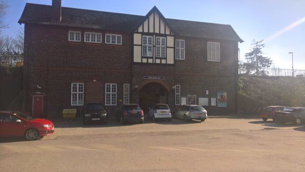
Byfleet and New Haw station
| Postcode | KT15 3LQ |
|---|
Transport
| Nearby stations | |
|---|---|
| Bus stops |
Byfleet and New Haw Railway Station (NW)
Chertsey Road (N)
Chertsey Road (S)
Regent Close (SE)
Regent Close (NW)
Shopping Centre (E)
|
| Station code (TLC) | BFN |
| Station code (NLC) | 5689 |
| Owner | South Western Railway |
| National Rail Enquiries | |
Live Departures
Live Arrivals
Usage
Entries and exits
Interchanges
| Year | Entries and exits | Annual change % | Interchanges | Annual change % |
|---|---|---|---|---|
| 2024 | 369,342 | 16.6 % | ||
| 2023 | 316,800 | 14.0 % | ||
| 2022 | 277,930 | 70.0 % | ||
| 2021 | 163,446 | -59.3 % | ||
| 2020 | 401,872 | -9.7 % | ||
| 2019 | 445,004 | -0.5 % | ||
| 2018 | 447,024 | -6.3 % | ||
| 2017 | 477,106 | 0.4 % | ||
| 2016 | 475,420 | 8.1 % | ||
| 2015 | 439,790 | 8.3 % | ||
| 2014 | 406,010 | -0.4 % | ||
| 2013 | 407,454 | 1.6 % | ||
| 2012 | 401,122 | 2.8 % | ||
| 2011 | 390,188 | 1.6 % | ||
| 2010 | 384,168 | -7.9 % | ||
| 2009 | 417,098 | 1.8 % | ||
| 2008 | 409,799 | 27.8 % | ||
| 2007 | 320,676 | 13.5 % | ||
| 2006 | 282,560 | -5.8 % | ||
| 2005 | 300,040 |
Note: Data is for financial years, so 2020 is April 2019 to March 2020
Geography
| Latitude | 51.349796 | |
|---|---|---|
| Longitude | -0.48139 | |
| Easting | 505854 | |
| Northing | 162285 | |
| Grid reference | TQ058622 | |
| UTM reference | 30U 675385 5691736 | |
| what3words | ||
| Plus code | ||
| Distance away |
Postcodes
This map shows the postcodes where this station is the nearest to the postcode (as the crow flies)