Map of Collington station
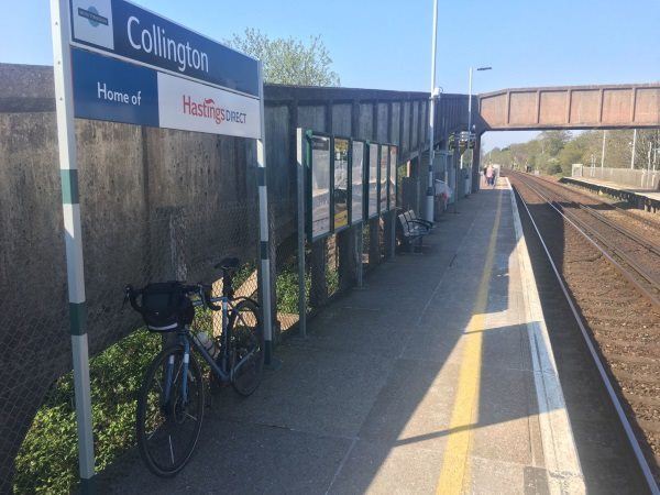
Photo: Martin W
Collington station
| Postcode | TN39 3EW |
|---|
Transport
| Nearby stations | |
|---|---|
| Bus stops |
Richmond Road (E)
Richmond Road (W)
Stokes House (E)
Stokes House (W)
Stokes House (N)
Westville Road (W)
|
| Station code (TLC) | CLL |
| Station code (NLC) | 5457 |
| Owner | Govia Thameslink Railway (Southern) |
| National Rail Enquiries | |
Live Departures
Live Arrivals
Usage
Entries and exits
Interchanges
| Year | Entries and exits | Annual change % | Interchanges | Annual change % |
|---|---|---|---|---|
| 2025 | 182,218 | 16.3 % | ||
| 2024 | 156,654 | 18.5 % | ||
| 2023 | 132,200 | 15.1 % | ||
| 2022 | 114,882 | 142.6 % | ||
| 2021 | 47,356 | -77.2 % | ||
| 2020 | 208,058 | 8.7 % | ||
| 2019 | 191,418 | 13.7 % | ||
| 2018 | 168,370 | 12.7 % | ||
| 2017 | 149,412 | -33.2 % | ||
| 2016 | 223,718 | -0.7 % | ||
| 2015 | 225,214 | 2.2 % | ||
| 2014 | 220,436 | 7.8 % | ||
| 2013 | 204,392 | 13.1 % | ||
| 2012 | 180,784 | 19.8 % | ||
| 2011 | 150,860 | 14.1 % | ||
| 2010 | 132,246 | 7.0 % | ||
| 2009 | 123,588 | -0.6 % | ||
| 2008 | 124,376 | 4.4 % | ||
| 2007 | 119,105 | -2.6 % | ||
| 2006 | 122,311 | 26.6 % | ||
| 2005 | 96,581 |
Note: Data is for financial years, so 2020 is April 2019 to March 2020
Geography
| Latitude | 50.839287 | |
|---|---|---|
| Longitude | 0.457861 | |
| Easting | 573153 | |
| Northing | 107296 | |
| Grid reference | TQ731072 | |
| UTM reference | 31U 321015 5635032 | |
| what3words | ||
| Plus code | ||
| Distance away |
Postcodes
This map shows the postcodes where this station is the nearest to the postcode (as the crow flies)