Map of Fleet station
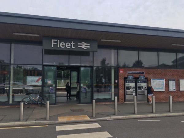
Photo: Martin W
Fleet station
| Postcode | GU51 3QY |
|---|
Transport
| Nearby stations | |
|---|---|
| Bus stops |
The Heron On the Lake (SE)
Ancells Road (E)
Guernsey Drive (NW)
Avondale Road (SW)
Guernsey Drive (SE)
Avondale Road (NE)
|
| Station code (TLC) | FLE |
| Station code (NLC) | 5522 |
| Owner | South Western Railway |
| National Rail Enquiries | |
Live Departures
Live Arrivals
Usage
Entries and exits
Interchanges
| Year | Entries and exits | Annual change % | Interchanges | Annual change % |
|---|---|---|---|---|
| 2025 | 1,400,680 | 9.7 % | 720 | 19.0 % |
| 2024 | 1,277,008 | 17.0 % | 605 | 34.1 % |
| 2023 | 1,091,484 | 30.8 % | 451 | -88.4 % |
| 2022 | 834,340 | 188.0 % | 3,877 | 270.3 % |
| 2021 | 289,726 | -83.0 % | 1,047 | -90.5 % |
| 2020 | 1,707,750 | -9.4 % | 11,076 | -9.3 % |
| 2019 | 1,884,432 | 3.8 % | 12,208 | 8.5 % |
| 2018 | 1,815,882 | -3.8 % | 11,249 | -4.7 % |
| 2017 | 1,888,198 | -0.4 % | 11,798 | -0.9 % |
| 2016 | 1,896,110 | 4.5 % | 11,903 | 2.1 % |
| 2015 | 1,814,208 | 3.1 % | 11,661 | 5.9 % |
| 2014 | 1,760,159 | -0.5 % | 11,009 | 1.1 % |
| 2013 | 1,768,336 | 1.2 % | 10,888 | -0.8 % |
| 2012 | 1,747,290 | 5.9 % | 10,979 | 23.9 % |
| 2011 | 1,650,254 | 4.5 % | 8,860 | 8.1 % |
| 2010 | 1,579,906 | -2.0 % | 8,196 | -2.6 % |
| 2009 | 1,611,814 | 2.5 % | 8,414 | 1.6 % |
| 2008 | 1,573,205 | 7.3 % | 8,284 | -12.0 % |
| 2007 | 1,465,987 | 7.0 % | 9,415 | 4.0 % |
| 2006 | 1,369,937 | 8.5 % | 9,053 | -0.1 % |
| 2005 | 1,262,524 | 9,059 |
Note: Data is for financial years, so 2020 is April 2019 to March 2020
Geography
| Latitude | 51.290634 | |
|---|---|---|
| Longitude | -0.830806 | |
| Easting | 481626 | |
| Northing | 155260 | |
| Grid reference | SU816552 | |
| UTM reference | 30U 651250 5684380 | |
| what3words | ||
| Plus code | ||
| Distance away |
Postcodes
This map shows the postcodes where this station is the nearest to the postcode (as the crow flies)