Map of Hanger Lane station, London
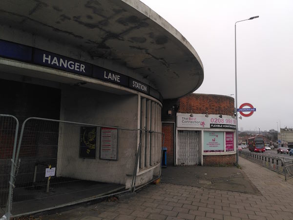
Hanger Lane station
| Postcode | W5 1DL |
|---|
Transport
| Travel zone | 3 |
|---|---|
| Tube/Rail lines | |
| Next stations | |
| Nearby stations | |
| Bus stops |
Hanger Lane Station (N)
Ashbourne Road (w5) (S)
Hanger Lane Station (W)
Garrick Close (E)
Hanger Lane Gyratory (N)
Quill Street (N)
|
Geography
| Latitude | 51.530072 | |
|---|---|---|
| Longitude | -0.292996 | |
| Easting | 518506 | |
| Northing | 182621 | |
| Grid reference | TQ185826 | |
| UTM reference | 30U 687761 5712247 | |
| what3words | ||
| Plus code | ||
| Distance away |
Postcodes
This map shows the postcodes where this station is the nearest to the postcode (as the crow flies)