Map of Holborn station, London
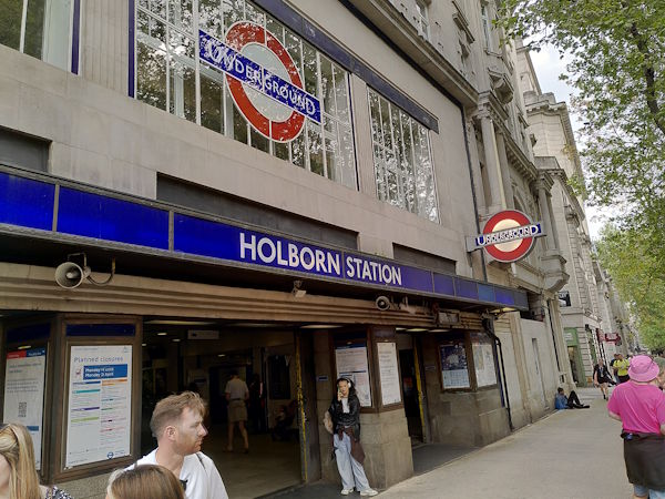
Holborn station
| Postcode | WC2B 6AA |
|---|
Transport
| Travel zone | 1 |
|---|---|
| Tube/Rail lines | |
| Next stations | |
| Nearby stations | |
| Bus stops |
Holborn Station (N)
Kingsway Holborn Station (S)
Procter Street (S)
Holborn Station (W)
High Holborn (W)
Red Lion Square (S)
|
Geography
| Latitude | 51.517236 | |
|---|---|---|
| Longitude | -0.119841 | |
| Easting | 530553 | |
| Northing | 181488 | |
| Grid reference | TQ305814 | |
| UTM reference | 30U 699825 5711279 | |
| what3words | ||
| Plus code | ||
| Distance away |
Postcodes
This map shows the postcodes where this station is the nearest to the postcode (as the crow flies)